Location
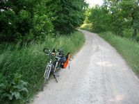
On a dirt road near Schöngleina
Participants
- Jens and Räbe
- surprisingly, also Juja and Hans
Expedition: Jens
Well, as to all my last hashpoints, Juja sent me there. Today the trick got a little modification. After lunch I asked her, if she will go there. "Of course, I will" the answer was. Since the point looked that easy, I thought, I could join her. I told her about this idea and the result was: "Perfect, when you will go to the point, than I have time to do something else."
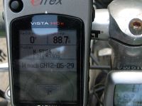
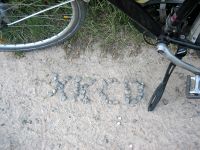
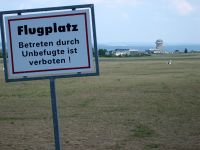
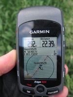
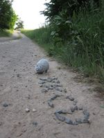
That was the most interesting part of today’s story. The rest was quite usual. Except of the last few meters the way followed the standard route for leaving Jena on bike in east direction. The point itself lay – unbelievable – not in a muddy field, not in dark forest, but exactly on a dirt road. So for the first time ever I was able to take the coordinates-reached-picture when the GPS device was still mounted on the bike. I left a mark at the point, but I think, no-one else will come there today and find it. For my way back home I took the route beside the small airfield through the wood to "Steinkreuz" and from there down the hill.
Photos: Jens
| My bike exactly on the point
|
| My way back home beside the "airport" of Schöngleina
|
|
Expedition: Juja
I somehow have the weird feeling that according to Jens' reports I am the sneakiest Geohashing weasel in the world... but I really had an appointment after work, so I didn't know when I could start my bike trip or if I would be too tired to start at all...
Probably even after Jens found the point I finally left for Geohashing, and in order not to make him too sad to have missed my company (ha ha) I picked a route which he probably would have hated with all his heart: up to Steinkreuz, on bumpy forest ways to Burgrabis and down to Rabis, on even bumpier ways to Lotschen and back up (up!) to Schöngleina where the point was waiting right next to the road (where I also found the hashmark).
I had done about 20 kms then, and since it would have been much too easy to just go home I went on to Thalbürgel, Graitschen, up the hill to Sonnenberg and Poxdorfer Höhe (following the coloured ways from my paper map means there will be well-marked hiking paths, but not necessarily perfect cycleways... well, alright), back down on bumpy ways to Sperbersgrund, back up to Lucka and finally, right home... slightly less than 50 kms, as promised.
Photos: Juja
| Coordinates reached for Juja.
|
| Seems like we weren't first...
|
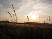
| Lovely view right next to the path that made me sneeze all the time.
|
|
Achievements
Of course Juja was only late in order to give Jens a new achievement:
