Location
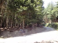
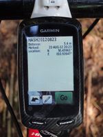
In a forest close to a small road near Hirschendorf (Thuringia).
Participants
Expedition
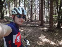
This was the typical workingday geohash: Close to the place where you often spend your weekends and even easy to reach. Usually this is annoying, but this time Reinhard cheated on the god of hashpoint calculation by having two leave days and thus a longer weekend. So it was perfect for a sunny cycling trip, incorporating the road between Altenfeld and Katzhütte, which was an indirect order by Juja. Luckily, when getting close to the hashpoint, Reinhard found out there was a paved track from the road between Sachsenbrunn and Hirschendorf to the hashpoint (except for the last 50 m) and funnily the pavement ended right in that bend, where the hash was passed. A little late for lunch Reinhard got back after 81 km (1400 m ascent).
Photos
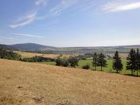
| View towards Bleßberg and Sachsenbrunn.
|
|


