Location
On a field near Hohendorf
Participants
Expedition
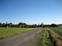
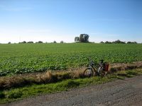
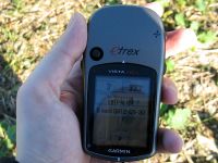
Another easy Sunday point for me. 600m away from here there was a point in march 2011. I took the same way, that we used last year via Bürgel. But at the place where we left the street last year, I was allowed to stay on the road today, perfect. Last years point lay on a much more challenging location, today the task was simple. Just go 40m from the road through the farmers new planted plants without being discovered by the framer and his fork. (b.t.w. what crazy plants are planted in autumn?) So I hurried from the road 40 m in the points direction, quickly took the photo of the GPS device and hurried back. An accuracy of 3 meters to the points location must be good enough for today.
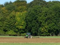
For my way back home I decided not to take the direct way, but to add a little detour. First I passed the farmer, who was engaged playing with his tractor and showed no interest in hunting Geohashers with a fork. Then I went to Rockau, where I wondered why there was a traffic light at the beginning of the dirt road with a sign "In case of red light stop your engine. It may take 20 minutes". I ignored the red light and the sign, because I can’t stop breathing for 20 minutes. When I arrived at Tautenburg, I saw the reason for the funny traffic light. The only regular street leading to Tautenburg was a large construction site. So all the Tautenburg cars have to use the small dirt road.
Photos
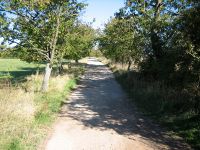
| The road beside the point.
|
| Since Räbe didn't want to leave the bag, I had to grin myself.
|
| The dirt road, Reinhard led us home last year through the darkness.
|
| Tautenburg is closed today (and tomorrow probably).
|
|
