2013-04-29 63 28
| Mon 29 Apr 2013 in 63,28: 63.7354779, 28.7187222 geohashing.info google osm bing/os kml crox |
Location
In Karjolamminkangas, Puukari, Valtimo. The point lies in a forest near the house Ahovaara.
Participants
- Pastori
- The Wife
Plans
Pastori had already on Friday afternoon noticed, that the Monday's hashpoint was near enough to reach, about 5,1 km from the home yard, as the birds fly. Because neither Pastori nor The Wife are birds, they had to rummage for some bicycles from their warehouse. And they found two "granny-models", meaning one gear and coaster brake. Expedition could began!
Expedition
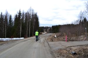
After a night with frost the gravel roads were crispy and dry enough for a comfortable ride. Pastori equipped himself also with a helmet and a high visibility vest, because it was expected that there might even be a car (notice singular form) driving the same road. In these roads the traffic density is about five (5) cars per day.
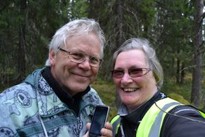
Headwind made riding there strenuous, the wind was at least 50 m/s. Or maybe 5 m/s is closer to the truth. This was the first bicycle ride since last summer, so it felt exhausting. To get to the vicinity of the hashpoint required about 7 km of riding. The point was quite near the road, about 100 meters. There was a really tall and thick forest of spruces, which hindered the gps signals, so the closest reading we got from geohashdroid was about 19 meters. Despite that, Pastori declares the visit to be a successful, perfect expedition.
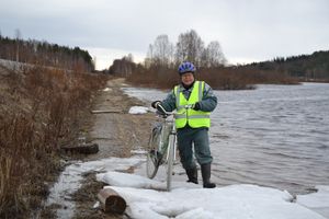
On the way back, The Wife observed some aquatic birds amidst the ice blocks on the lake. On the same time Pastori observed some spots for fishing next summer.
Some statistics from SportsTracker: Trip time 2:25:36, trip length 14,76 km, average speed 6,1 km/h! Maximum speed 42,2 km/h.
Additional photos
Achievements
Pastori earned the Bicycle geohash achievement
|
Pastori earned the Land geohash achievement
|


