2013-06-11 63 28
| Tue 11 Jun 2013 in 63,28: 63.7469745, 28.6535536 geohashing.info google osm bing/os kml crox |
Location
In Puukari, Valtimo. The point lies in a forest.
Participants
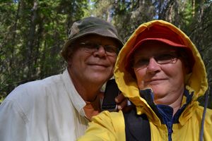
- Pastori
- The Wife
Expedition
Yesterday Pastori noticed, that the next day's hashpoint was CLOSE, only 1,47 km as the birds fly. Therefore it was downright obligatory to get ourselves into it. But how? By walking through the fields and forests? You cannot - there is a river on the way. How about swimming over - not a chance - the water is only 15 degrees on the plus side and the banks are steep. And moreover The Wife, Pastori's own paparazzi, does not consent to swimming in a water below 20 degrees. Hmm!? So bikes it is, there is no way such a short distance can be driven by car when it's summer.
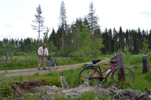
Now Pastori delved into warehouse and brought forth their good bikes, they had many gears and other luxuries, such as bells and luggage racks. The day was partly clouded, 18 degrees centigrade and quite windy. There was a potential rain coming in the afternoon, so we started from home yard at 10:55 according to the precise information given to us by SportsTracker.
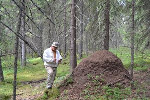
Riding distance there was 5,5 km. We could get by bike about 300 meters from the hashpoint. After dismounting we walked among logging residue in a pine forest about 200 meters, after which our path turned itself to a dense spruce forest. Tall, old trees which had lots of tree lichen surrounded the point so densely, that satellite signals couldn't pass very well. To get to the accuracy of 18 meters was a pretty good accomplishment. I walked every direction dozens of meters, but it was no good, we were off the grid. A tip for everyone out there: if you want to hide from government surveillance, welcome to Finland and especially to the forests of Northern Karelia! Here nobody will readily find you, when we ourselves cannot always locate us. Luckily this time SportsTracker guided us nicely back to our bikes. Then heading home to write the report. [Editor's note: And to wait for the translation delay which was about 5 hours this time.]
In a whole pretty easy job, although it took us 1:37:56, total distance traveled was 11,31 km with an average speed of (NOTE!) 6,9 km/h. The modesty of the average speed value was probably partly because of the measurement was active also during our forest walk.
Additional photos
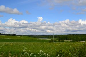
The house Alava among the fields. Note a Eurasian Curlew in the middle of the road.
Achievements
Pastori and The Wife earned the Bicycle geohash achievement
|
Pastori and The Wife earned the Land geohash achievement
|


