Location
The hash lies in the forest above Geisingen.
Participants
GeorgDerReisende
Plans
Coming from 2013-10-27 48 8 I want to hitchhike there and back home.
Expedition
|
|
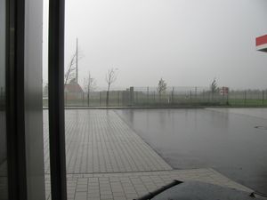 |
I started for this journey at the service station Baden-Baden just in a big rain. After prepared for this rain I had seen a car with the car ID of the county Tuttlingen, which is the county where the hash lay.
|
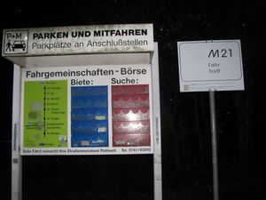 |
The lift went into the night of the Black Forest. It was raining all the time and I ended up at a meeting place for carpooling near Rottweil. There I walked around looking for a good place to hitchhike to Geisingen or to Tuttlingen, but I didn't find one. So I returned to the carpooling place and asked the drivers there for a lift to my destinations. After three hours I got a lift to Geisingen, the car driver brought me to the beginning of the forest. From there I walked three kilometers into the forest, but always uphill with a pitch above 10%.
|
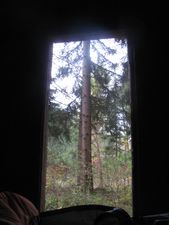 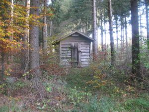
This is the shelter where I had spent the night. Looking in the morning is very nice. But as I arrived in the late evening there was a storm on the mountains howling and I was happy that I could close the door. But with the closed door I couldn't sleep because I live in the cities and there is no absolute darkness. So I opened it a little bit. In the middle of the night the moon shone through the door and then I slept better.
|
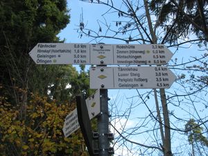 |
The Öfingerhauhütte is 879 above sea level, the village of Geisingen has 670 m, the river Donau has there 665 m.
|
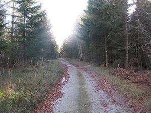 |
After starting the expedition I walked through a sunny forest, but then I walked too far. This is the bad way.
|
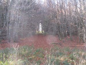 |
This is the good way.
|
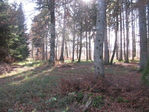 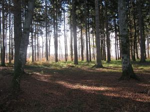 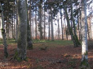
After taken the good way I landed on this plateau. Somewhere there is the hash.
|
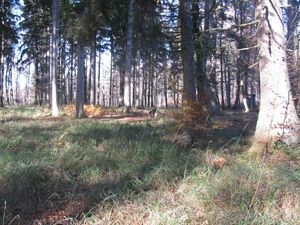 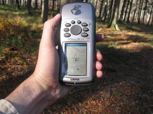
In the wilderness I found a border stone. I put my luggage there and marked this as a waypoint. First to find it easy back but also with a sign that other people could find me if I would be hurt.
|
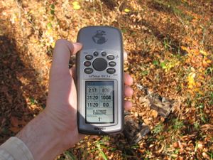 |
Then I walked in between the trees to find the hash. (proof1)
|
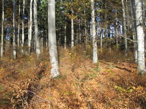 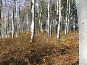 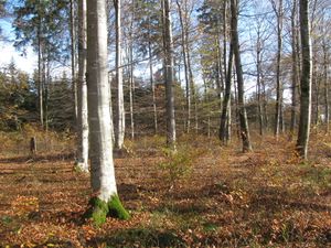
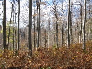
View to the north, the west and the east. Remember it!
|
 |
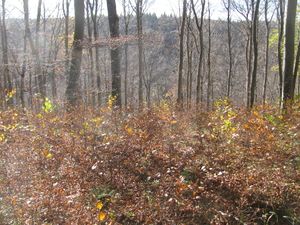
View to the south. Look in between the trees and see the village of Geisingen.
|
 |
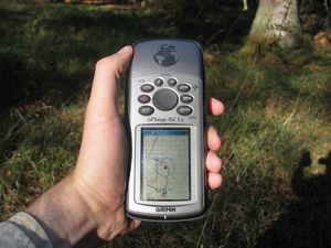
View to the edge of the plateau. I didn't want to go near it.
|
 |
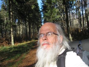
On the way back. (proof2)
|
 |
I like this game!
|
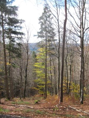 |
Now I had been hungry and thirsty. Because yesterday I passed only service stations, I had no possibility to buy cheap food. So I decided to take the way which seemed to be the shortest to the village. (The village is behind the trees here.)
|
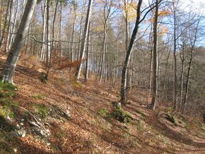 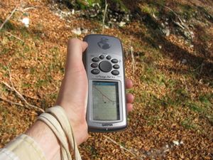
Somewhere there on the hill is the hash.
|
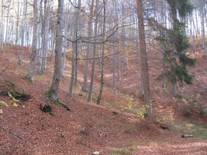 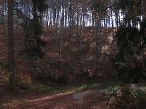
Somewhere there on the hill is the hash.
|
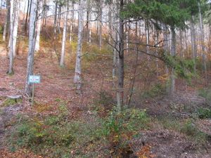 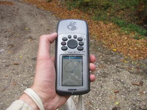
Somewhere there on the hill is the hash.
|
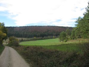 |
The green line of bushes there is the way which I have taken yesterday evening in the dark.
|
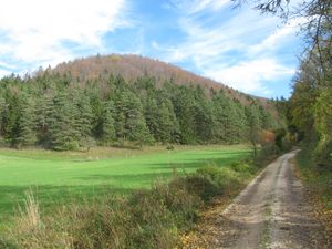 |
The mountain of the hash. But I had been too near to see the hash from here.
|
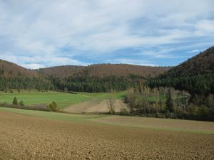 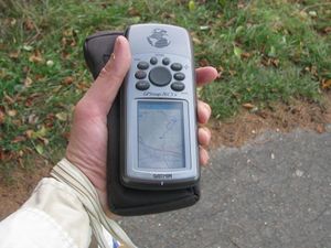
You have remembered the views from the hash? There in the middle of the ridge you see green trees, there is the hash.
|
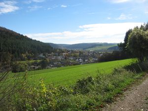 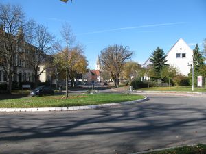 Geisingen Geisingen
|
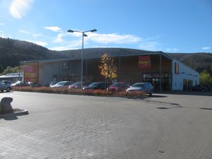 |
at this place I could satisfy my hunger and my thirst
|
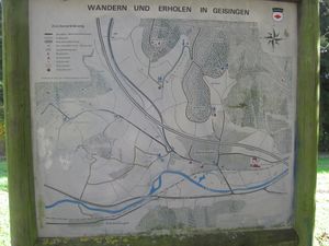 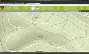 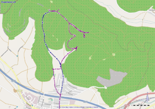
maps of the region and the tracklog
|
Achievements


