Location
The hash lies on the Schattelberg southeast of Kaufungen.
Participants
GeorgDerReisende
Plans
I wanted to travel to Kaufungen by tram, and then to walk to the mountains, doing some usual things and return home.
Expedition
|
|
 |
|
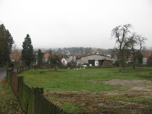
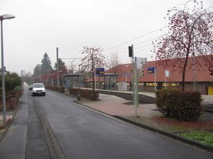
I started the today's geohashing expedition at Oberkaufungen. I went there to by the tram no. 4 and from there I walked onto the mountains.
|
 |
|
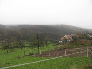
At first I walked a little bit along the valley of the river Losse.
|
 |
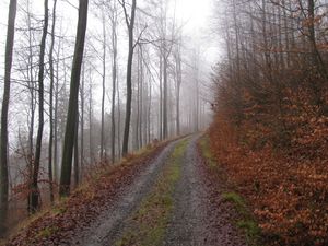 |
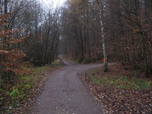
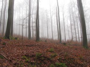
Then I arrived in the forest with it's usual steep terrain, but I hoped for better angles near the hash.
|
 |
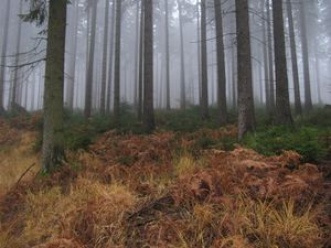 |
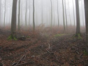
The higher up the mountain I walked the less steeper it became.
|
 |
|
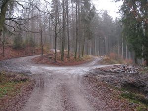
I could have taken this way for a cut of the route, but because of the wetness I wanted to walk on the hard way as long as possible.
|
 |
|
This was the highest place of the walk with a rest of snow on the ways. I came from the right one and followed that to the middle.
|
 |
|
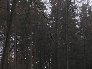
This is an other example of wetness. These trees are only waiting for geohashers to make them wet. In the highest resolution you see the drops!
|
 |
|
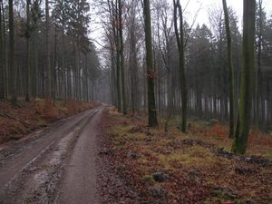
The way to the hash. This way has the name Pfannkuchenweg (pan cake path).
|
 |
|
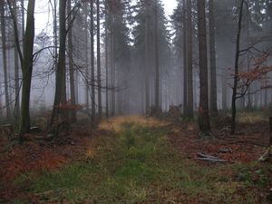
This is the upper end of the cut. Only 200 meters away, but I took the detour, which was a mile long.
|
 |
|
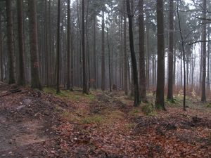
All my maps tell, that this way would lead me nearer to the hash, but at first I wanted to try the hard way again as long as possible.
|
 |
|
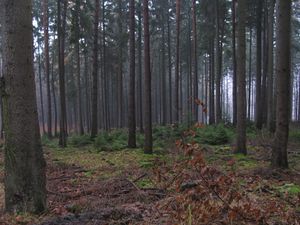
Somewhere there is the hash.
|
 |
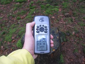 |
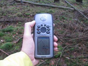
proof
|
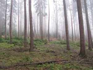
| Look around!
|
 |
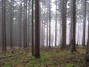 |
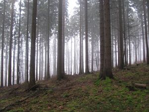
|
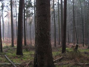
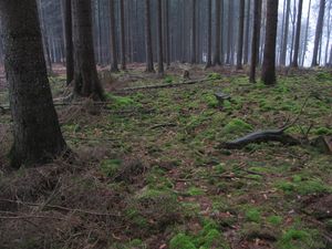
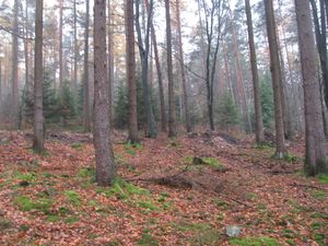
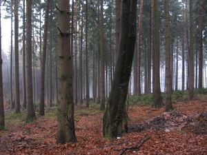
| the south (uphill) with the forest way in the background |
the north |
the east
|
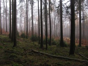 |
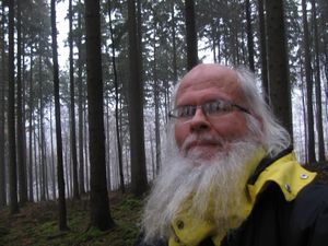 |
the west and a geohasher
|
 |
 |
a marker and the site of the hash
|
 |
 |
Between the forest way and the hash was a stripe of mud, maybe as a leftover from the construction. I found a way to pass the mud between two trees, which had built a gate.
|
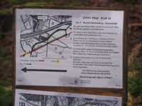 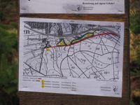 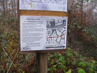 |
I found these posts in the forest, informing the fellow geohashers, that velociraptors will come to eat this part of the forest.
|
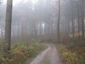 |
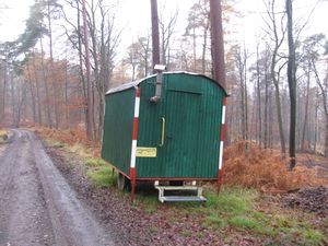 |
This place shall become a motorway. Sometimes earlier I found this nest. Maybe for velociraptors?
|
 |
|
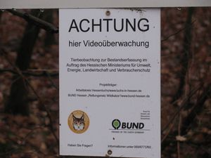
There is a video surveillance in the forest!
|
 |
 |
|
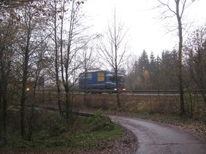
| the national road |
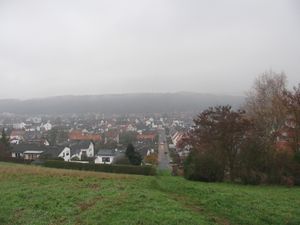
view to Niederkaufungen |
back in civilisation!
|
Tracklog
Achievements


