Location
The hash lies in the forest of Staufenberg, above Nieste.
Participants
GeorgDerReisende
Plans
The plan was to hitchhike to Nieste, to walk into the forest, looking for the hash and walking home.
Expedition
|
|
|
 |
|
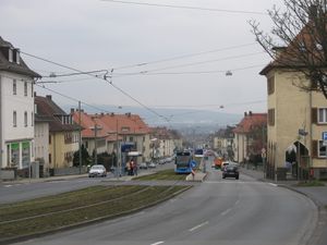
I left home at 11:45 and walked down the street to the tram stop, and found that the traffic lights missed their lights. I wanted to take a photo of this and found out, that I had forgotten my camera. So I walked home, caught it, and started again.
|
 |
|
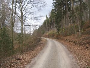
I couldn't get a lift direct to Nieste, so I had to walk around the village. After entering the right forest, I found this forest way.
|
 |
 |
Then I searched for a shelter. I found it, but it is not open to the public.
At this place I had to notice, that I had forgotten to move all my old photos from my camera to my harddisk. Because of this I sat there on a bench and deleted some of them, always trying to find some of those which I used for this website.
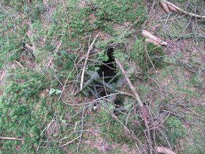
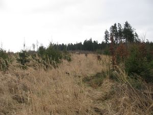
Then I tryed to take a shortage and I found this danger: because the forest way was one of these muddy ones, I walked at the side of it beyond the trees and I found this hole under the moose.
|
 |
|
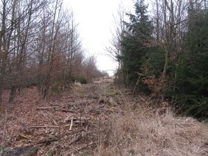
After sometimes loosing my way I found the right one.
|
 |
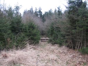 |
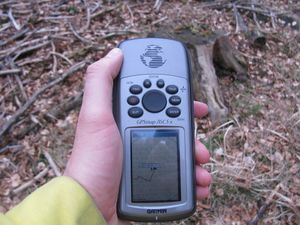
Then I arrived at a fork. The left way was not shown of all my maps. But the right one leaded away from the hash. I wanted to take the left one. But before I could take it, the garmin run out of electricity. I changed the batteries. But for this I have always to take care of the contacts of the device and for some minutes I couldn't manage it. That is very difficile, because if I loose this contact, then I cannot use the garmin, and searching for it in the grass, I wouldn't have find it.
|
 |
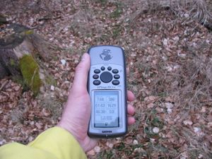 |
proof 1 and 2
|
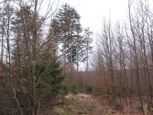 view to the southwest view to the southwest |
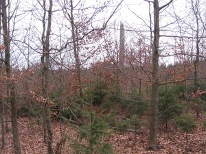 view to the northwest view to the northwest |
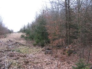 view to the northeast view to the northeast
|
 |
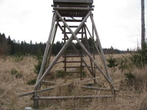 |
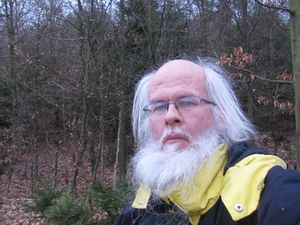
No grin, because of the technical difficulties. The mark on the hunting seat.
|
 |
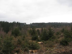 |
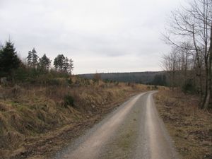
Walking on. The site from the other side. The site from the other side of the valley.
|
 |
|
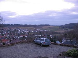
At the horizon the start and the end of the walk. Then I tried to hitchhike home, but no cars stopped. So I walked to the tram station of Oberkaufungen. On this short distance, I tried to save three euros by hitchhiking.
|
Achievements


