2014-05-25 48 9
| Sun 25 May 2014 in 48,9: 48.2995598, 9.0462197 geohashing.info google osm bing/os kml crox |
Contents
[hide]Location
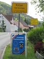
On the Schwäbische Alb, in a small side valley of the Killertal at the side of the Raichberg mountain. The spot was near Starzeln which belongs to Burladingen.
Participants
Expedition
I hadn't really planned to go anywhere that day, but in the morning I spontaneously decided to reconsider that, packed a bit of stuff and, around noon, jumped on the bike and caught a train to Jungingen. This was less distance (both horizontally and vertically) than I could have covered by train, but it also was also one price step less.
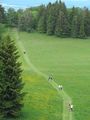
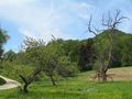
So I left the train at Jungingen and started my way upwards. Ignored several warnings (see pictures) and went on. And there it was: A meadow, with trees, flowers, and nearby sheep, and a hashpoint. Ok, halfway up the Raichberg is... only halfway, and it's worth going all the way, so I continued the way further up, ignoring bad way conditions and steep slopes, and finally reached the top. After some sightseeing, I went back home again, this time all the way by bike.
Gallery
fair warning?
Second warning?
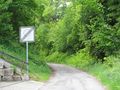
This way looks like it could be an easy ambush... but it's also the one to the hash...
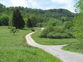
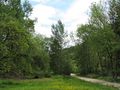
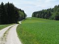
Way to hash
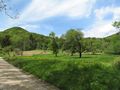
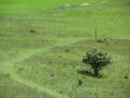
The hashpoint
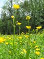
Hash flowers
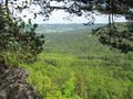
View from hash upwards
View from hash downwards
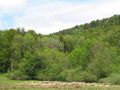
View from hash sheepwards
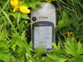
coordinates reached
Alb impressions
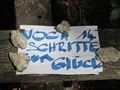
"14 more steps to happiness"
(Which direction? I must have taken the wrong one...)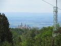
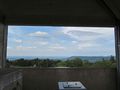
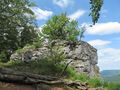
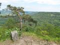
Views from the Raichberg viewtower