2014-08-01 52 10
| Fri 1 Aug 2014 in Braunschweig: 52.0743483, 10.7586376 geohashing.info google osm bing/os kml crox |
Location
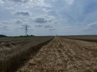
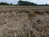
Today's location is in a partially harvested wheat field near Winnerstedt.
Country: Germany; state: Niedersachsen (Lower Saxony, EU:DE:NI); district: Wolfenbüttel
Weather: sunny, hot (~27°C in the not-availabe shade)
Expedition
Danatar
This is part two of a Triple Hash
- 2014-08-01 51 13
- 2014-08-01 52 10
- 2014-08-01 52 9 (not reached)
- 2014-08-01 53 8
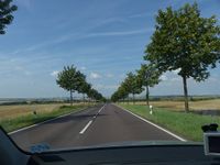
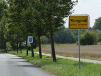
After not enough sleep I started my journey at 9 o'clock and drove along the Autobahns A4 and A14 for about two hours. My plan was to leave the A14 at the Bernburg exit, then follow the B6 federal road for a while. When I saw a sign for Bernburg I took that exit but it later turned out to be three exits early. So I had to drive along smaller roads and through small towns until I reached the B6 at Aschersleben. Not much later I had to leave that excellent multi-lane road when I took the exit towards Halberstadt. Again I was on a smaller road (B79) but after a while I reached Winnigstedt, then I parked the car on a field track near the hashpoint.
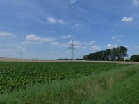
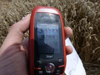
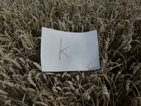
The sun was shining strongly and it was much hotter than 27 °C because of the missing shade. Two fields over, on the other side of a hedge, I could see people working, but I decided to ignore them and walked towards the hashfield. A part of it was already harvested and I walked along the edge of the still-standing wheat until I was at the shortest distance to the spot, only a few meters away. A part of the wheat was pressed down from the wind but I didn't want to destroy it any more so I decided "close enough" and took my pictures. Then I went back to the car and returned to the B79 which I followed almost to Wolfenbüttel, then I turned towards Salzgitter and Hildesheim, for the next hashpoint.
This is my first expedition in the 52 10 graticule and my first expedition in the German state of Niedersachsen.
|
