Location
Today's location is next to a track in a forest near Kirchlinteln-Kükenmoor, not far from Verden.
Country: Germany; state: Niedersachsen (Lower Saxony, EU:DE:NI); district: Verden.
Weather: sunny, not so hot in the forest
Expedition
This is part one of a Triple Hash:
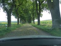
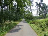
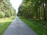
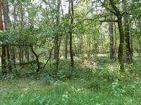
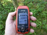
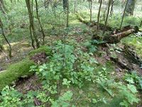
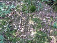
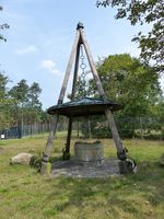
After less than 5 hours of sleep and still very tired I got up and went to have brunch with my brother and other birthday guests. After that I started my journey back to Dresden. To get to the first hashpoint of the day I didn't have to drive very far, after 20 minutes I already left the Autobahn at Verden. I drove through Kirchlinteln and then along a long cobbled road to Kükenmoor ("chick bog", next to the Hühnermoor "chicken bog"). At the beginning of a forest track I parked the car and started walking. The air was very nice because of the shade and the route to the hashpoint was very easy to find, it was just one turn to the left at the waterworks and then I was near the hashpoint. The GPS dance was a bit complicated, with the coordinates jumping around by 10 meters at a time, so it was more of a hasharea. I built a marker, took pictures and went back to the car. I continued along the country roads until I came back to the Autobahn near Walsrode. From there it wasn't far to the Autobahn A7 towards Hannover.
| driving along a very old road
|
| Brauner Waldvogel / Ringlet (Aphantopus hyperantus) ?
|
|
tracklog
triton tracklog
