Location
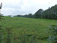
Today's location is in a meadow near the Bühlbach creek, between Bühlau (belonging to Großharthau) and Lauterbach (belonging to Stolpen).
Country: Germany; state: Sachsen (Saxony, EU-DE-SN); district: Sächsische Schweiz-Osterzgebirge; municipality: Stolpen
Weather: Clouded but no rain
Expedition
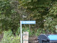
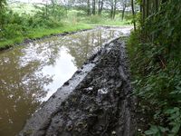
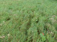
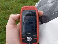
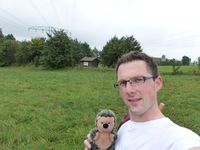
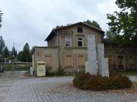
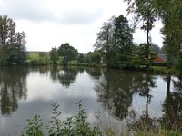
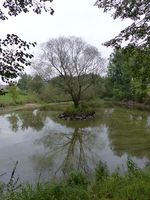
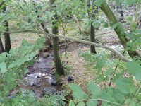
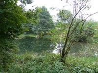
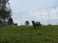
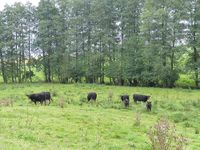
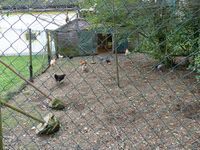
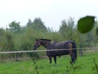
This Saturday hashpoint was in public transport distance, so I took the train to Großharthau. From there it was about 5 km walking distance, but I had only 49 minutes if I wanted to be at the hashpoint in time for 4 p.m. Thus motivated I started walking at a fast pace along a forest track and field tracks to Bühlau. That village I had to traverse from one end to the other, I saw lots of different farm animals along the way. I passed the Mühlteich pond and the Hexenburg, an old building with strange architecture which is a horse riding place nowadays. The last part of the route was on a field track along the Bühlbach creek, the track was partly converted to mud. To make it on time, I jogged for a while now and then. With two minutes to spare, I reached the hashmeadow where I saw trails, but no other people. I reached the spot while the church bells were striking the full hour. After only a few moments I started back, because for the return walk I only had 47 minutes. Again I jogged now and then, which was exhausting and hot after a while. I only took a few very short stops for pictures and reached the train station about one or two minutes before the train arrived. The three women that were already waiting looked at me strangely.
| are there other people here?
|
| coordinates reached at 4 p.m.
|
| Großharthau train station
|
| pond next to the "witch castle"
|
|
tracklog
triton tracklog
