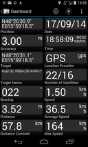
2014-09-17 48 15
| Wed 17 Sep 2014 in 48,15: 48.4419596, 15.9884758 geohashing.info google osm bing/os kml crox |
Location
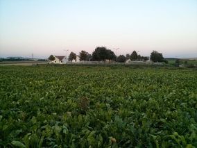
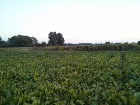
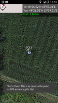
The hash was located in a field between two ditches in a rural area around Großweikersdorf.
Participants
Plans
The location of the hash looked interesting. It wasn't quite clear from the map how to approach it. Also the satellite images revealed no access to the field. But we were intrigued by the mystery, so we set sail for Großweikersdorf.
Expedition
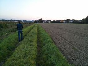
The cruise to Großweikersdorf was uneventful. The closest we could get to the hash by car was not an option, because we would have had to cross a railroad and (worse) one of the two ditches. So we kept looking for another way to the hash. And we found one! A little down the road, there was a small railstation and a bridge leading over the first creek. We crossed that bridge and kept looking for access to the field. But no luck at first glance, since the road was seamed with houses and gardens. It was only after the last house (just before the second bridge) that we found an access road leading back into the fields. We decided to make our way by foot. The rest is history.
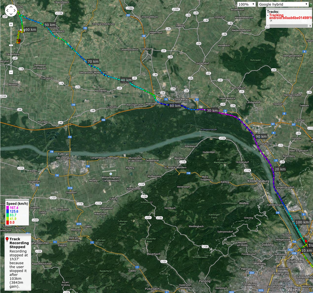
Tracklog
Photos
- Photo Gallery
Achievements
B2c earned the Consecutive geohash achievement
|
Patrizius earned the Consecutive geohash achievement
|
