Location
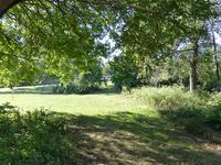
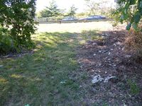
Today's location is next to a meadow and bushes between different lanes of the interchange between the Long Island Expressway and the Van Wyck Expressway; at the Flushing Meadows-Corona Park; in Queens, New York City.
Country: United States of America; state: New York; city: New York; county and NYC borough: Queens.
Weather: Sunny, warm
Expedition
I was in New York for a 9 day vacation and, as always when I'm anywhere, one of the main goals was to visit a hashpoint. In a new graticule, in a new country, this time even on a new continent. I had printed centicule maps of the greater NYC area with me and I checked the coordinates daily, either from the hotel wifi or from any free wifi along my way. So when on Friday I saw that this Saturday's hashpoint was in Queens and probably reachable, I rejoiced. Sadly, Jevanyn informed me that he wouldn't be able to come.
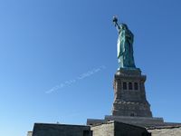
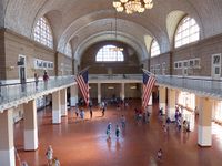
In the morning and early afternoon I visited the Statue of Liberty and Ellis Island, then at around 14:40 I started towards the hashpoint from Battery Park. I took the subway to Grand Central station where I changed to the no. 7 line. That one I took to the penultimate stop. When the train went from underground to aboveground I switched on the GPS unit, but the batteries were empty. Thanks to modern smartphones and their inbuilt GPS I didn't have to turn back. Even without that, I would have been able to navigate to the hashpoint by the satellite image screenshot I had taken. During the last days I had been surprised by how long the subway rides take and this time was no exception. As I came nearer to the Mets-Willets Point stop, 4 pm came nearer even faster. At 15:50 I got out at the subway station and started to walk quickly through the 1939/1940 & 1964/1965 World's Fairs' Flushing Meadows Corona Park towards the hashpoint.
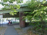
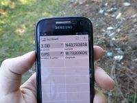
The sun was shining hotly and there were lots of people picnicking or doing sports. Finally I reached the Long Island expressway and the area near the hashpoint, which was easily accessible from a street that passed under the interchange. I started my GPS dance at 16:04. At first I had some problems as the longitude number didn't behave correctly, but then I realized that I was in the negative longitude hemisphere and found the spot.
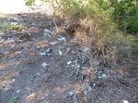
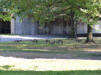
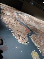
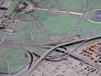
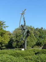
There was litter at the hashpoint but I didn't have a bag to put it in for the geotrashing achievement. After a while I left the spot and went to the Queens Museum, which is nearby in the Corona park. There wasn't much inside, but the huge New York City architectural model was great. The Unisphere, a giant globe in a fountain in front of the museum, was also nice, because of the warm weather many people ran around between the jets. Afterwards I walked around in the park, where in addition to the aforementioned people I saw 4 wedding groups.
Tired, I took the subway back at 17:30, interrupting the journey only for a stroll at Sunnyside.
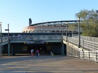
| Subway station and baseball stadium
|
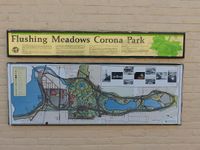
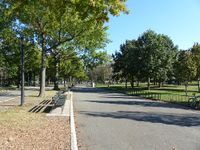
| Flushing Meadows-Corona Park
|
| Long Island expressway interchange
|
| coordinates reached, globetrotter+1
|
| New York City architectural model
|
| the hashpoint in that model
|
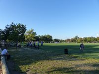
| people playing in the park
|
| Statue of Liberty (for those who really need a caption)
|
| Ellis Island, but I'm not immigrating
|
|
tracklog
Phone/Osmand tracklog
