Location
Today's location is directly in a cliffside in the Sächsische Schweiz ("Saxon Switzerland") National Park.
Country: Germany; state: Sachsen (Saxony, EU:DE:SN); district: Sächsische Schweiz-Osterzgebirge
Weather: mostly sunny but fresh (10-11°C, less later)
Expedition
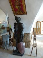
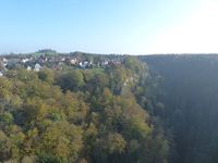
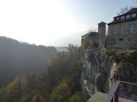
The weather was nice, mostly sunny with fresh air (around 11 °C at noon) and the Sächsische Schweiz ("Saxon Switzerland") is a famous hiking area, so I decided to visit this hashpoint even though getting there would take some time by public transport, I wouldn't be guaranteed to reach the spot because it was near one of the cliffs, and I felt my legs a little bit from the expedition the day before. Shortly after noon I started and walked through the Großer Garten to the Dresden-Strehlen train station. The train was delayed for 5 minutes but the ride to Pirna went smoothly, I read a magazine on the way. At Pirna I soon found the bus terminal where I waited for the no. 237 bus which took me to Hohnstein where I arrived at 2 p.m. I started walking but just around the corner I saw the entrance to Hohnstein Castle. Since it looked interesting and I had taken the earlier of two bus options I bought a ticket and went inside. After a long medieval history as robber barons' castle and as a prison in the 19th century, the castle had been turned into a youth hostel in the early 20th century, just to be converted into a concentration camp for political opponents in 1933, then into a prisoner of war camp. After the second world war it became a youth hostel again and later a natural science museum was added. Relicts from all those periods were displayed in the museum part of the castle and the view over the Polenz valley and the steep cliffs around the castle was great. Afterwards I bought a piece of cake in a tiny café in Hohnstein where I had to wait for two groups of people to be served one by one. At 3 p.m. I finally started towards the forest and the hashpoint.
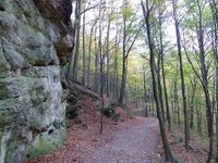
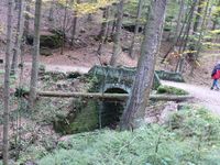
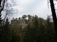
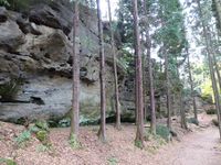
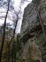
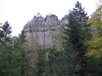
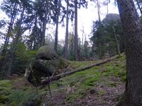
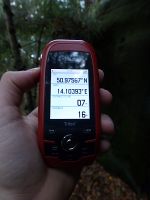
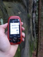
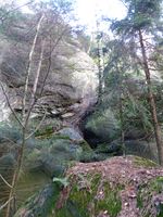
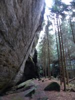
The hiking trail lead through the forest and along steep sandstone rock walls, passing lots of interesting stone formations. Now and again there were places with a nice view over the valley, adjacent cliffs or the castle. I followed the trail until I was near the hashpoint, then I went up the slope towards the rock face where I hoped to find the spot on the lower side of the cliff. When I reached the rock face from the west at the exact latitude the GPS told me I had a few meters to go. I carefully went to and fro next to the vertical stone formation, trying to get the coordinates right. Both to the north and to the south of the place where I first arrived, the cliff curved towards the east, but to the same extent that I approached correct longitude numbers I got away from the correct latitude. My phone's GPS showed different numbers at the same place, but the general problem was the same. After half an hour of GPS dancing I decided that further dancing would lead me nowhere. I was well within the not-so-small area of GPS accuracy, but it was clear that I was not at the spot. Climbing the rock was out of the question, so I went back to the trail. The cake from Hohnstein should have been a celebratory cake, but now I ate it as a consolation cake.
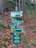
From the hashpoint I had two ways to get home. I could either walk back to Hohnstein, wait for the return bus and go home by bus, which would be the same long route as on the there trip. Or I could hike to Rathen and take the train from there. That would mean a longer walking distance, but on a new route with possible interesting sights, and only a short train ride. I decided to try the new route, I had enough time after all. When I came to a branch-off of the trail that would after a while lead to the other side of the cliff I was seriously tempted to try to reach the hashpoint from the other side. In the end I decided not to do it, because the cliff had not been totally vertical in the upper part, so the hashpoint might end up somewhere on the steep part and the prospect of falling down the cliff, breaking my legs or neck and never being found did frighten me a bit. In retrospect, perhaps I should at least have given it a careful try...
When I continued my hike, one unforeseen inconvenience arose. While until then there had only been a tiny unpleasant feeling in my legs from my exercise the day before, soon the trail went clearly downhill and each step down ent a clear stab of pain through my right knee, while walking horizontally was no problem. Again I though about turning back and go to Hohnstein, but decided to fight it out and continue to Rathen. But the pain grew worse and I had to adopt a kind of hobbling gait to lessen it. And then it got darker. The days before dusk had been shortly after 6 p.m., but in the night before daylight savings time had ended. I had even remembered to adjust the clock, but I hadn't realized the implications for the time of dusk. So after one hour of painfully walking downhill along a trail that didn't have any beauty to compensate me for the suffering, also I wasn't on the shorter and more scenic route anymore because I didn't find one of the branches-off, I was walking downhill in pain and poor light. Once again one of the situations where I question my decision to go on all those geohashing expeditions. But then again, geohashing is suffering and the rewards make up for it, simple motivation psychology. On the up side I passed a father with two children, all of them trying to push their bikes up the very rocky path I was walking down, with still a long way to go to Hohnstein, they probably were as miserable as I was.
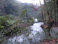
After crossing the Polenz creek near the Waltersdorfer Mühle mill together with a black cat I turned right and walked along the Polenz until the path climbed up the other side of the Polenz valley where the forest ended at a parking place. By then it was really dark and I walked along the road to Waltersdorf. At Waltersdorf the bus timetable told me that the last bus had passed less than 10 minutes before. Hoping for a delayed bus I waited a few minutes, but I wasn't lucky. Had I taken a left turn at the Waltersdorfer Mühle I might have caught the bus, again I blame insufficient map reading skills. A car stopped and the occupants asked me for directions to the Autobahn. I told them I didn't know and they continued, too late I realized that I could have looked up the directions on my map and asked them to take me to Bad Schandau (which I knew has a train station) on their way. Then I walked through complete darkness the two kilometers to Rathen. It was so dark that I saw two people that passed me in the other direction while in a forest only when they were just 5 meters in front of me.
In Rathen I arrived at the Elbe's shore just in time for the ferry, a reaction ferry, which brought me to the other side of the Elbe in short time. 3 minutes later I was at the train station. The moment I stepped on the platform I saw a train depart. Luckily there was another one 9 minutes later that brought me to the Dresden-Strehlen train station. Since I really didn't want to walk any further than absolutely neccessary I waited for the no. 61 bus, took that for 3 stops and walked the last part to my appartment. I arrived at 19:30, almost 7.5 hours after starting on this expedition. In total, I walked more than 12 km and I hated at least half of those kilometers.
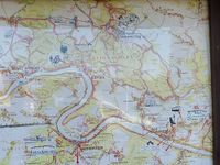
| map overview of Saxon Switzerland
|
| Hohnstein Castle entrance
|
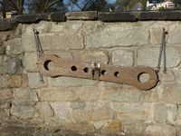
| two-person Schandgeige / shrew's fiddle
|
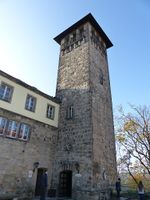
| view from the donjon over the Polenz valley
|
| view from the donjon to Hohnstein
|
| Hohnstein Castle from below
|
| Großer Halben with climber in the leftmost part
|
| nearest I got to the spot
|
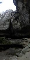
| notice the vertical rock in the background
|
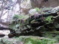
| overhanging cliff south of the hashpoint
|
|
tracklog
tracklog from Triton and my phone combined For a while I haven't been able to watch my EveryTrail.com GPS tracks when they are in private mode, not even while logged in and by using the private link. But I don't want to set the viewing options to public because there's no need for anybody to watch the track except when coming from the geohashing wiki. Please tell me if you are able to see the track. It might be my very old computer, but if it is a general problem I'll have to switch to public displayability.
