Location
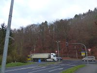
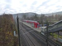
Today's location is in a steep wooded hillside at Freital, near the Freital-Hainsberg West train station.
Country: Germany; state: Sachsen (Saxony, EU:DE:SN); district: Sächsische Schweiz-Osterzgebirge.
Weather: Overcast, around 5 °C
Expedition
This hashpoint was not only in a district I haven't been geohashing in, but also so near both to Dresden and to a train station that I just had to visit it. Time was a problem, though, because I had to be at work at 11:30 already to do some stuff before the late shift. I set my alarm to 8 o'clock and started at 08:45, cycling to the Dresden main station. There I took the 09:07 suburban train... but wait, I had to validate the ticket first! And from my experience (see former expedition reports) I knew that this couldn't been done on the trains. At least I was prepared and had a multi-trip ticket ready. A nice guy told me the validating machine was at the beginning of the platform and he held the door open so I could run there and back to the train. The trip to Freital-Hainsberg West was quick and I arrived there after about 15 minutes. My plan was to walk the 200 m to the hashpoint in the forest near the station, take the usual pictures and walk back to take the return train at 09:36, 14 minutes after my arrival.
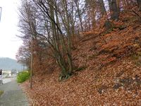
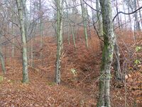
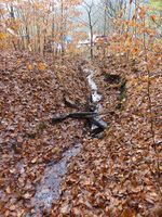
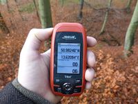
When I got out of the train one tiny missed detail of that plan was obvious: I hadn't taken a look at the terrain mode of the map, so the very steep hill was a surprise. When I arrived at the edge of the forested area I found an incline of more than 45°. I walked the few steps to the small creek that went past the hashpoint and saw that it was only a tiny runlet about 30 cm across, so I took a large step over it and walked a dozen paces along it until I was directly below the hashpoint. With careful steps I walked over a thick layer of leaves up the incline, it went better than expected. Then I was at the spot, hooray. I took pictures of the GPS unit, myself and the area, then I walked down the hill again, only once slipping barely. I hurried back to the train station, but I could hear the train's arrival and it was already at the platform when I came near. My multi-trip ticket was used up, so I slowed down, deciding to take the next train 30 minutes later. I bought a new multi-trip ticket, which was a bit difficult because the ticket machine didn't recognize my 10 Euro note (it was one of the notes with a new design introduced in September and of course the machine wasn't ready) and I had to pay by card. Then I walked back towards the hashpoint, climbed the hillside again, marked a tree and took more pictures. This time I got a bit of dirt on my jeans when I slipped. At 10:06 I took the train back to Dresden and cycled home.
tracklog
Triton tracklog
