2015-03-18 50 20
| Wed 18 Mar 2015 in 50,20: 50.0865950, 20.0096080 geohashing.info google osm bing/os kml crox |
NOTE: According to Eupeodes's interactive map, the coordinates for today were 50.08659495, 20.00960795.
Contents
[hide]Location
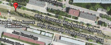
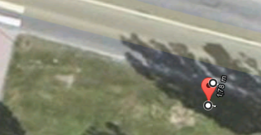
In the median strip of a major street in Cracow (aleja generała Władysława Andersa), close to a pedestrian crosswalk. Here's an image from Eupeodes's page:
Participants
- Malgond and his boys.
Plans
I have not decided yet if I would go by car or by bus.
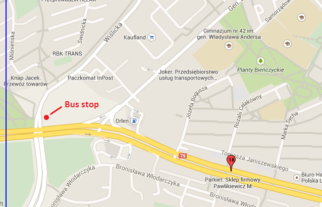
There's a bus stop which can be reached by going by bus 178 right from my home up to the intersection of Wiślicka and Bora-Komorowskiego streets:
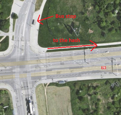
And a close-up:
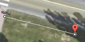
If at all, it is going to be a no-batteries expedition. Here are measurements taken with Google Maps.
Expedition
We got there successfully. I have decided to take a bus for today's trip. The photos are not top quality, since it was dark already, but I did my best.
A pleasant evening
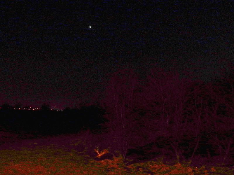
I had to stay a bit late at work so before I got home and the boys got dressed up it was already 7 p.m. local time. The air outside was brisk but not cold. The sun has set and the sky in the west was completely dark already - but to my delight Venus was shining brighly high above the horizon. I tried my best to make a photo with my compact camera and without a tripod and then enhance the image, and this is what I got. The view is to the west over the fields we walked through in our previous expedition. The glare from the street lamps extracts the nearby grass and bushes from the darkness; on the horizon there loom dark figures of trees and some distant lights. The Evening Star is high up.
The bus ride
After contemplating the view for a short time, we went to the nearby bus terminus to get the 178 bus. It arrived soon and we got in for a 40-minute ride. We got out at the stop in Wiślicka street.
Walk to the hash
After getting off the bus we walked along north side of the Bora-Komorowskiego and Andersa streets (route 79 on the map) on a nice new wide sidewalk with a bike lane, taking photos of the features we were passing by. After getting to the crosswalk I had surveyed to be near the hashpoint on Google maps, I produced a measuring tape from my backpack and instructed the boys to find the spot. We've arrived there at 8:20 p.m. local time.
The return journey
After documenting our expedition we crossed the other lane of the Andersa street and walked back along its southern side. Along our way there was a KFC restaurant. The younger boy had seen it already from the other side of the street on our way to the hashpoint, and immediately declared he was hungry and demanded to go there. I had managed to save the expedition by promising to visit the restaurant on our way back, so there we went. After some discussion with my sons we had come to an agreement - three buckets of fries: one for them, one for me (which I shared with them anyway) and one for mummy and sister (such nice and caring boys they are), but no drinks as I had a bottle of water in my backpack.
Loaded up with fries we walked to the bus stop on the other side of the intersection of Wiślicka and Komorowskiego streets - just in time. The 178 bus was scheduled in just four minutes. We rode home while eating fries.
Achievements
Malgond earned the Land geohash achievement
|
Malgond earned the Drag-along achievement
|
Malgond earned the Public transport geohash achievement
|
Malgond earned the No Batteries Geohash Achievement
|
