Location
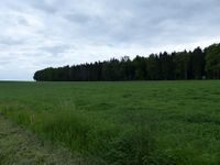
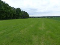
Today's location is in a meadow at the city limit of Großröhrsdorf.
Country: Germany; state: Sachsen (Saxony, EU:DE:SN); district: Bautzen.
Weather: Clouded, 10 °C
Expedition
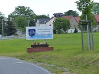
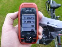
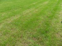
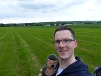
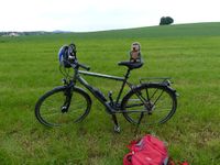
The hashpoint was a good distance from my place, but within cycling distance. And since there was the possibility that this day would be the day the 10000th expedition took place I needed to go geohashing. As so often I had the night shift (no, I don't work only at night, this month 50 % of my shifts were during the day). My alarm woke me up early in the morning (5 p.m.) and I started at 17:45. Similar to the 2014-07-18 51 14 expedition (also to Großröhrsdorf) I crossed the Loschwitzer Brücke, then I followed the same road as the last time, but for longer. After the difficulties on the 2015-05-25 expedition I was a bit worried that the uphill slope would be horrible again, but I had no problems and made good progress. Again I had to push my bike up a steep walking track, then I reached the Dresdner Heide forest, this time exactly at the place I wanted. That means that I could cycle along the A-Flügel track that went straight through the forest for 5.5 km, cycling along it went much better than the track I had taken the last time. I cycled through Radeberg next until my printed map told me to turn right towards my goal. When I crossed the large state road I still thought I was on the right road but when the awaited turn shortly after that road didn't appear and I reached a town named Wallroda I realized I had taken a wrong turn again. But that was no problem at all because it meant I was now on the other route G. maps had proposed. In Wallroda I rode past sheep and a bit later I passed two women on horses. Not much later I cycled through Kleinröhrsdorf and reached the Großröhrsdorf sign. Different from the last time I didn't have to go to the city proper, instead I took the first small track on the right, rode past a field and I was almost there. As I had presumed from the satellite image the hashpoint was in a meadow and I rode my bike across the grass until at 19:15 I was directly at the spot. I posted on the wiki:
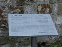
After taking pictures I started back. This time I used the route I had planned. On the way I cycled through the Hüttertal valley of the Große Röder creek, which was very nice, with much nature along the creek and a pond. Only moments later I discovered a planet walk.
| on the other side of this field
|
|
Tracklog
triton tracklog
