2015-06-03 51 11
From Geohashing
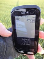
| Wed 3 Jun 2015 in 51,11: 51.1525477, 11.3884927 geohashing.info google osm bing/os kml crox |
Location
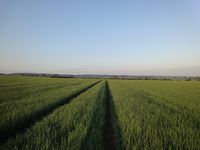
On a field, North of Mannstedt, Thuringia, Germany.
Participants
Expedition
Hash was in reachable distance from Reinhard in Jena for a (bigger) evening bike ride. He took the direct route to Mannstedt (33 km), followed a bad gravel road for 1.5 km and then walked 250 m along tractor tracks into the field and to the hashpoint. Then he got back to the bike and to Mannstedt and went on to Bad Bibra, taking some detours and finishing the ride after 112 km.
Tracklog
Photos
|


