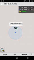
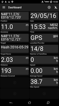
2016-05-29 48 16
| Sun 29 May 2016 in 48,16: 48.1879472, 16.2120262 geohashing.info google osm bing/os kml crox |
Location

Participants
Plans
A rather spontaneous expedition to the Lainzer garden, a recreation area close to the western Viennese border. Crankl summoned the other hashers to accompany him on an expedition to a nearby hash as it was the first day with sound weather in a long time and he didn't want to let that go to waste.
Expedition
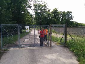
Micsnare, Crankl and B2c met up for late lunch at a local burger joint. Originally they had planned to use public transport to get to the Lainzer garden, but that turned out rather tricky, as the subway leading out of the city was undergoing maintenance work and the bus drove only once per hour. So they resorted to the hashmobile once again. After an uneventful drive along one of Viennas artery roads they arrived at the garden. Crankl picked up a tourist map at the box office near the entrance called "Pulverturmstrasse". They quickly matched the map and their apps and estimated a half-hour walk to the hashpoint. Along the way the spotted wild boars grazing near the edge of the forest and took pictures of wildly deformated treestumps. Enjoying their little stroll in the park a little too much they overshot the hashpoint a little and had to walk back before turning into the woods. The hashpoint was located mildly elevated on a hill, easily accessible. They formed a small wooden xkcd sign at the spot, took a couple of pictures and headed back to the car, crossing a small brook. After driving back into the city and stashing the hashmobile they proceeded to their favorite post-hash-activity: drinking hashbeer!
Tracklog

Photos
- Photo Gallery
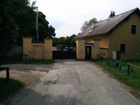
Entrance to the Lainzer garden.
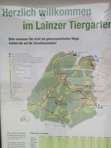
Map of the Lainzer garden.
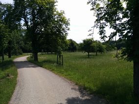
A walk in the park.
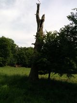
An artsy treestump.
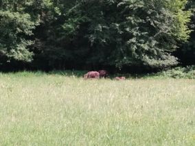
Wild boars at the edge of the forest.
Locked in here with me!
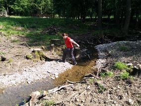
Micsnare in motion.
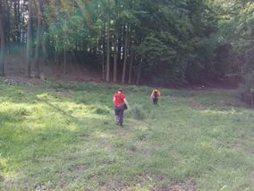
Hashers approaching the hashpoint.
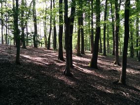
The hashpoint in the woods.
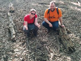
On point.
Stupid grin (tm)
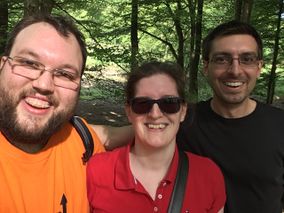
Proof.
More proof.
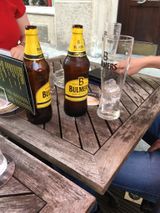
Mandatory hashbeer.


