Location
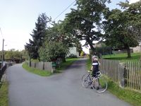
On a driveway in Reinhardtsdorf, Saxony, Germany.
Participants
Expedition
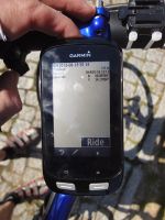
Bicycle ride during our holidays in Papstdorf in the Sächsische Schweiz (Saxon Switzerland). Went up the driveway some meters which was enough for a 3 m picture. Afterwards, we rode down to the Elbe, crossed the border to the Czech Republic and rode up to the Děčínský Sněžník (Hoher Schneeberg, 723 m), the highest mountain of the Elbsandsteingebirge. 60 km round trip. It was a new graticule for us.
Tracklog
Strava activity
Photos
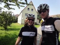
| Standing in front of the hashpoint.
|
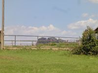
| You could see the Schrammsteine (I think) from there.
|
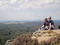
| Sitting almost on top of Děčínský Sněžník.
|
|
