Location
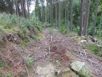
Today's location is on forested hillside near Stadtroda.
Country: Germany; state: Thüringen (Thuringia, EU:DE:TH); district: Saale-Holzland-Kreis; municipality: Stadtroda
Expedition
This report is 1.5 years late (but the gallery was there at least), mostly because I didn't have time to write it in the weeks after the expedition and then it was like "it's been overdue for so long, it can wait a bit more". Sorry. Now that the wiki is back after the dark ages, I'll finally write it as far as I remember.
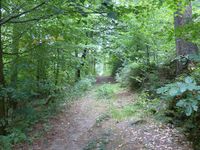
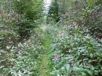
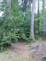
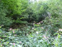
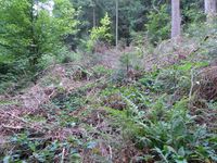
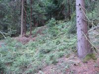
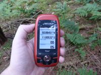
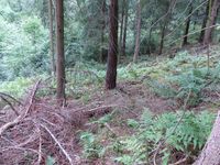
After the training in Jena, I drove back towards Dresden. But after only a few kilometers I left the Autobahn again because there was a hashpoint nearby. In a small hamlet next to the Zeitzbach creek I parked my car and walked along a track between the creek and the hillside. The track was almost overgrown by Impatiens glandulifera (the note with the coordinates and the plant name has been lying on my desk all the time as reminder), a nice-looking but invasive plant and there were lots of bumblebees. I also saw a large dragonfly but it was too fast to take pictures of. After walking along the track for a while I was just downhill of the spot. There were many brambles on the steep slope so I had to backtrack a bit before I found a place where I could climb up. Balancing carefully, I finally reached the spot. Then I returned to the track and to the car and to the Autobahn. 45 Minutes later I was nearing Chemnitz and thus the 2018-08-31 50 12 hashpoint.
tracklog
triton tracklog of both parts of the double hash
