2019-03-25 51 9

| Mon 25 Mar 2019 in 51,9: 51.0660213, 9.2195097 geohashing.info google osm bing/os kml crox |
Location
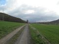
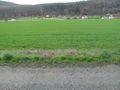
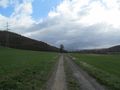
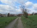
The hash lay beside a fieldway east of Borken-Kerstenhausen.
Participants
Plans
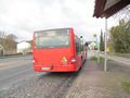
Public transport and walking.
Expedition
My Garmin is already out of order. I planned again with the areal map. It told me about 84.35 meters. My calculation was, that I had to walk 105 steps from the western way to the hash. So I walked to the beginning to the fieldway and then I walked 105 steps. Calculating the distance to the hash was easy like that. The areal map showed the hash two thirds of the size of the way to the south. Being there I measured the width of the fieldway as four steps and two thirds of that means, the hash is only 2.5 meters away in the field.
Photos
arrived
looking to the hash
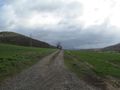
105 steps to hash
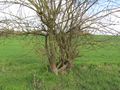
the bush is at 90 steps
15 steps to hash
0 steps to hash
looking to the hash
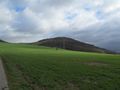
looking north
east
south
west
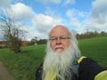
the geohasher


