2020-06-10 51 10
| Wed 10 Jun 2020 in 51,10: 51.5819314, 10.4778293 geohashing.info google osm bing/os kml crox |
Location
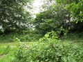
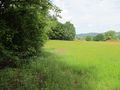
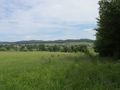
The hash lay at the edge of a valley south of Osterhagen.
Participants
Plans
A journey with public transport and walking.
Expedition
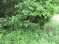
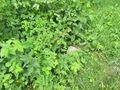
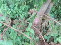
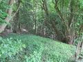
There was an easy travel to Osterhagen and there I walked through fields and meadows and up a hill. Looking from only some meters away it looked easy, but then I saw, that directly behind the edge of the forest, there was a deep valley. Trying the direct way to the hash I felt a little bit uneasy, because I couldn't see the ground beyond the plants and the ground was deeper than the plants told me. Then I decided to walk at first across the meadow and then into the forest. And just entering the meadow I saw the end of a concrete pipe, which should be a bridge across a ditch. After that all was easy.
Photos

arrived in Osterhagen
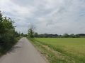
the way to hash
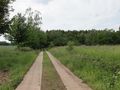
some meters to go
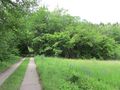
the first view
and there it is: the hash!
a concrete pipe as a bridge
the hash
looking south
west, with the valley
north, without the valley
east

the geohasher


