2020-07-31 50 10
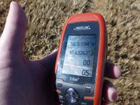
| Fri 31 Jul 2020 in Schweinfurt: 50.3069398, 10.6326234 geohashing.info google osm bing/os kml crox |
Location
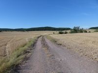
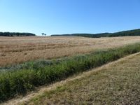
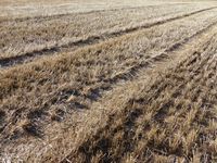
Today's location is in a stubble field (harvested corn) in the Grabfeld region.
Country: Germany; state: Thüringen (Thuringia, EU:DE:TH); district: Hildburghausen; municipality: Gompertshausen, a part of Heldburg
Weather: burning sun, ~33°C
Expedition
Danatar
After leaving the 50 11 hashpoint, I followed the B173 federal road to Kronach, then the B303 past Coburg. From my G. maps route planning printout I knew that I had to exit the B303 at Oberelldorf, then drive mostly straight ahead up to the hashpoint. While nearing Oberelldorf I saw a sign that indicated an intersection towards the towns near the hashpoint but after turning into that road I quickly noticed that I wasn't at Oberelldorf yet, so I turned around for the first time. Now that I can look at the map on the internet, that route would have been much simpler, I don't know why the route planner didn't show it. The next hamlet was Oberelldorf and at first I drove past the intersection because the intersecting street was quite small. Then I drove from hamlet to hamlet along small country roads. I took wrong turns twice more (before Poppenhausen and at Hellingen) because those were tiny roads and the navigation system reacted rather sluggishly. Finally I reached Gompertshausen.
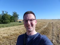
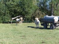
I parked the car, started to walk along a path, turned around because there was a fence, drove 300 meters to another street and started out on foot again. I only had to walk through the heat under the burning sun for a short while, past some agricultural(?) business before I arrived at the hashfield, then I walked along its edge. The short part of the field's edge directly next to the hashpoint had a small ditch. I briefly considered jumping across it but at second glance it looked like the ditch might be deeper than visible under the long grass. As I didn't want to explain a broken ankle to anybody, I took the 50 meter detour around the ditch. Since the field was already harvested there was nothing hindering me from reaching the spot. I took some pictures and started to go back. In the meadow next to the field, some cows had come nearer to the fence and were watching me with interest.
I walked back to the car and started driving again. At the next hamlet I didn't take the road I had used on the there journey, instead I continued due south on the slightly better road that brought me to Hofheim. There the navigation system sabotaged me by having me drive right through the historic center full of construction works instead of using the better street around that center but I still reached the B303 federal road again. I followed that one until it reached the A70 autobahn near Schweinfurt. On the last few kilometers the other drivers and I were stuck behind a slow-moving tractor. There had been quite many of those along the route but it wasn't possible to overtake that last one for a rather long time.
|
tracklog
triton tracklog (for both hashpoints)
