2022-04-17 -38 143
| Sun 17 Apr 2022 in -38,143: -38.7207201, 143.1868320 geohashing.info google osm bing/os kml crox |
Location
Next to the Gellibrand River in the Otways.
Participants
(with "The Tourists", Other Katie and Tony, as supporting cast)
Escape from Camp Cooriemungle™, a cursed GeoHash adventure.
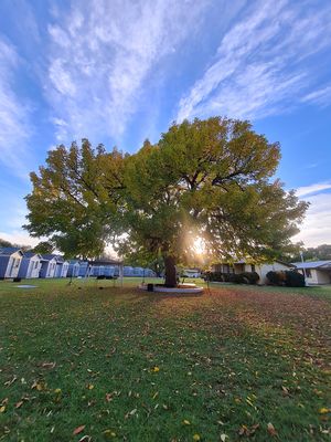
It all began at Camp Cooriemungle – a cursed former prison camp, and the starting point for this hash.
When we entered the camp on Thursday we were told by the spectre-esque gate attendant that we would never be allowed to leave.
(Until the Monday.)
((For health and safety purposes.))
(((We were attending a circus festival, which – while still slightly hokey – was not quite as hokey as you might imagine.)))
((((Okay, it was fairly hokey.))))
Unfortunately, I'd been alerted to the presence of an upcoming hash on the Sunday. I wanted to do the hash.
I was at the festival with some tourists. Being tourists, they wanted to see the Shipwreck Coast. They wanted to see it on the Sunday.
As the saying goes, "Porque no los dos?"
Well apparently because when we asked the staff if we could leave for some harmless sight-seeing, we were told it was a Big No and Very Not Allowed.
But no one puts baby (us) in the corner (cursed former prison ground), except for us (baby). It was time to stage the greatest prison break known to Camp Cooriemungle.
The plan was as follows: we'd send in Other Katie to impress the gate staff using the skills she'd learned in her Beginner Level Poi class.
Meanwhile, Tony and I would dress The Yaris as a shrub and quietly push it past on the right.
We'd all meet at the end of the driveway and high-tail it to freedom!
However, when we got to the gate turns out there were no guards and they were just trusting people to do the right thing.
As people keen to do the wrong thing, this was great.
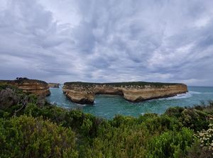
Sight-seeing was first on the agenda and we had a pleasant afternoon wandering around some dramatic sea-cliffs, before it was time for Big Hash Adventure. The Tourists were on board in their support of getting me to the hash point, though were not sold on getting there themselves.
We consulted the map. There seemed to be two main options:
1. Take Old Ocean Rd. This would get us geographically closest to the hash, but would require a swim across the Gellibrand River.
2. Take Old Coach Rd. Further away, but would not require a river crossing. However, it requires a longer trek through unknown terrain over what is presumably someone's farmland.
Time and daylight being constraints, Option 1 was the winner and we zoomed off in The Yaris.
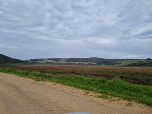
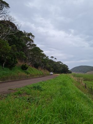
Old Ocean was a fairly ungraded dirt road that gave us some flat but pastorially quaint farmland.
After five minutes or so we got a bit of spicy hill action to the left, and finally snuck a glimpse of the famous Gellibrand on the right. It looked cross-able? Things were looking promising.
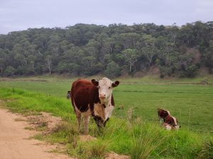
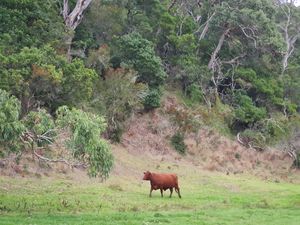
We saw a cow! It was out of its paddock. I wanted to give it a pat but that's hard to do when you're driving a car.
After about 10 minutes we were probably as close as we could get to the hash so we pulled over slightly precariously onto the side of the road.
The Tourists did not want to swim across the river (it was kind of cold and drizzle-y), but provided excellent moral support to me, who did.
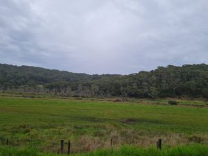
I could kind of see where I thought the hash might be, in the cow field on the other side of the river, and I wandered along the fence line to find a good spot to get through the barbed wire.
Once on the other side of the fence it was a short, drizzle-y walk to the river's edge.
I stripped off to a socially appropriate level and put my phone in a ziploc bag.
Time for a swim! The water was cold and the mud disturbingly slimey. I waded in up to my knees before the bottom dropped off suddenly. Turns out the water was surprisingly deep.
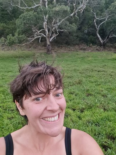
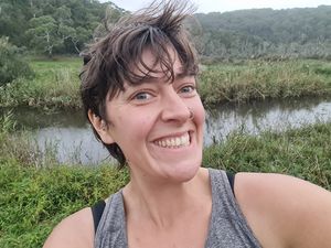
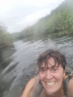
I swam awkwardly with my phone held aloft for obligatory selfies. It was only when I reached the other side I realised the opposing bank presented some challenges.
It was very steep, and covered in a thick layer of water reeds which couldn't really be grabbed onto. And because the water was too deep for me to touch the bottom, I basically had to beach myself like a whale high enough into the thatch of reeds so that I could subsequently get a hand purchase onto the bank and then flail myself up onto land.
If that sounds awkward I promise you the real event was excruciating more so. It resulted in loud, guttural noises and many a reed scratch. There is no documentation of this effort, but please know I suffered for my art.
Once on land, I realised that if I'd just swum downstream 10 or so metres I could have climbed out onto the flat part of the bank drama-free. Whoops.
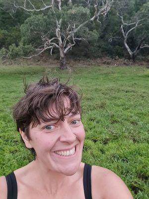
The Other Side was very muddy! So muddy. I was pretty close to the hash point so I slopped through it until I got my Happy Green Notification. I stood shivering victoriously in my wet jocks. What a moment!
Now I had a better visual assessment, I reflected that the way from Old Coach Rd probably would have taken ages and would have involved a big hill. The river was a better choice. Then some cows appeared! It looked like one was coming over to say hi, and I wanted to meet her but she was taking ages and I was pretty cold. So I yelled a greeting and swam back across the river to my things.
After a small disagreement with the barbed-wire fence (not documented), I reunited with The Tourists and The Yaris, and we made it back to Camp Cooriemungle just in time for tea. No one had noticed we'd left. In fact, some say we're still there to this day, doomed to Beginner Level Poi for eternity.
