2023-05-08 52 8
| Mon 8 May 2023 in 52,8: 52.0806450, 8.0582343 geohashing.info google osm bing/os kml crox |
Location
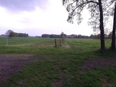
This Geohash is located between two meadows in Bad Laer.
Participants
Expedition
After work, I took the bus to Bad Laer/Schillerstraße, and inline-skated the rest of the distance.
Initially, I tried approaching the coordinates from the east via the Dammweg, but the road led to a house and had a sign there that there was no way through for cyclists, so I assumed the same would apply to inline-skaters. Instead, I turned back and approached from the north via Zur Westernheide, which worked better.
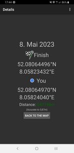
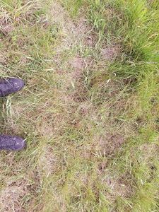
The penultimate part of the path was not perfectly paved which made inline-skating difficult for a few hundred meters, and the last part was just walking on grass between the two meadows. There are fence-posts in-between them, but no actual fence. There, I located the coordinates and recorded proof.
Up until now it had been sunny and warm, so hearing thunder took me by surprise. Hmmm, those clouds look like rainclouds. While I inline-skated back to the Schillerstraße bus stop, it started to rain a little bit, but I barely noticed since I brought a jacket. While I was in the bus on the way back, it started to rain more heavily, but by the time I was back in Osnabrück, it had stopped.
This expedition concludes my current thirteen-day fourteen-expedition Consecutive Geohash streak. Tomorrow, I have other plans.
Photos
Tracklog
Ribbons
Fippe earned the Land geohash achievement
|
Fippe earned the Consecutive geohash achievement
|


