2023-05-30 52 8
| Tue 30 May 2023 in 52,8: 52.4543996, 8.2018817 geohashing.info google osm bing/os kml crox |
Location
This Geohash is located in a bog in Schwege.
Participants
Expedition
In the evening, I cycled north. I cycled through Wallenhorst, and through Kalkriese. Two throusand years ago, the Romans lost three legions and their province of Germania Antiqua in the Battle of the Teutoburg Forest there.
The next stop was the Geohash. It was located in a dry bog, a path led me almost completely to the coordinates, I only had to walk a few meters. After locating the coordinates and recording proof, I cycled back.
On the way back, I cycled through the Wiehen Hills and visited the Süntelstein, the "Süntel Stone". Süntel? Isn't that the name of a different hill range near Hannover? Apparently the Süntel used to encompass all the hills from here to there, but nowadays the range is considered split into the Wiehen Hills, the Weser Hills and the modern-day Süntel. The stone from the stone ages kept its name though. From there, I cycled back home.
Photos
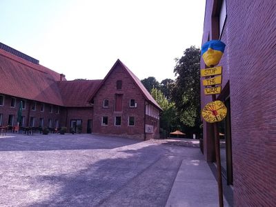
At the site of the Battle of the Teutoburg Forest
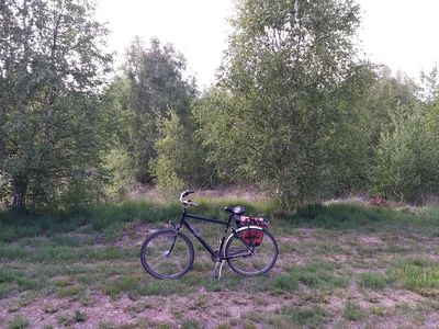
My bicycle at the site of the Geohash
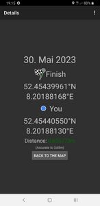
Proof
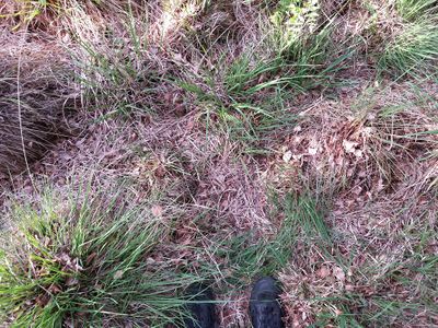
The Geohash
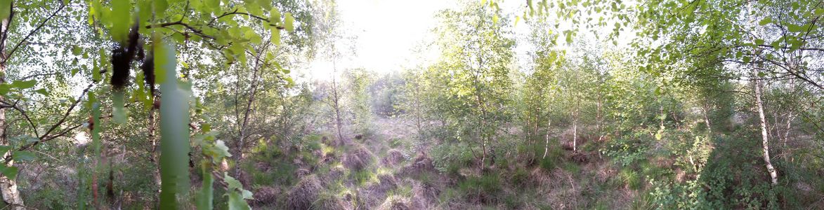
Surroundings
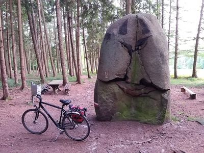
The Süntelstein


Tracklog
Ribbons
Fippe earned the Land geohash achievement
|
Fippe earned the Bicycle geohash achievement
|