2023-07-09 50 12
| Sun 9 Jul 2023 in Chemnitz: 50.7396245, 12.8928632 geohashing.info google osm bing/os kml crox |
Location
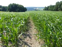
Today's location is in a maize field between Burkhardtsdorf and Adorf, not far from Chemnitz.
Country: Germany; state: Sachsen (Saxony, EU:DE:SN); district: Erzgebirgskreis; municipality: Neukirchen/Erzgeb.; village: Adorf/Erzgeb. (literally "village A", though the name seems to have a different origin)
Weather: sunny, warm
Expedition
Danatar
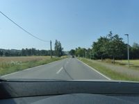
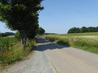
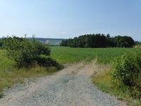
I was on my way from Bad Liebenwerda (southern part of Brandenburg) to Bad Elster (southwesternmost corner of Saxony), because my orchestra gave concerts there over the weekend. I had spent the night in a hotel near the Autobahn in Chemnitz, because I didn't want to drive all the way back to Dresden in the night just to sleep for not enough hours. In the morning, I drove through Neukirchen (where I found the only open bakery along the route, since apparently nobody needs breadrolls on a Sunday morning in the countryside?!) and Adorf and (because of a closed road in Adorf) then Jahnsdorf. At Meinersdorf, the satnav guided me along a very rough field track, instead of the tarmaced small road I found later, then I drove along fields and small forests until I was near the hashpoint. There I found a maize field and parked the car at the side of the road. I was already preparing for a "no trespassing geohash" but then I saw tire tracks leading into the field. I followed those, able to not damage any plants. The first tracks went in the wrong direction, but a different set of tracks led me directly to the spot. Hooray!
While I was walking back out of the field, a car arrived and parked next to the field. A guy got out, grabbed a large bucket from his trunk and walked along the tire tracks into the field. When we met, I showed him my map print-out and explained the "game to reach a randomized spot", and that I had been lucky that those tire tracks were there. He didn't completely understand how the spot came to be in this field, but he knew about geoCaching. He then (slightly) ranted about geocachers hiding their caches everywhere and on private property. He never said anything against me being there in that field. As far as I understood, he was not the farmer, but a local hunter (his T-shirt showed a stag). He was on his way to bait (Not sure if that's the correct word: To regularly put feed somewhere so that wild animals will gather in that place) wild boars. He explained about how there were so many wild boars ruining the crops, and how he(and others) had shot whatever many of them the day before and so on and so on. I listened to his story about how bad Nature does by encroaching on humanity's farmland. Then we both went our respective ways.
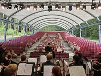
I had originally planned to play my Flügelhorn at the hashpoint, but with this guy there I changed my plans. But I stopped in the next forest and played Im Wald und auf der Heide ("in/through forest and heathland", a traditional folk and hunting song). A cyclist that passed by applauded. Then I continued my journey, fist to Jahnsdorf, then towards the Autobahn at Stollberg, then along the Autobahn for the rest of the route. The concert was in the very nice open-air theater of the spa town (the "Bad" means bath) and it went well, although I counted only 167 guests.
|
tracklog
