File:2012-05-21 flooded.jpg
From Geohashing
No higher resolution available.
2012-05-21_flooded.jpg (800 × 533 pixels, file size: 444 KB, MIME type: image/jpeg)
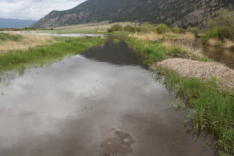
The road and surrounding area was flooded. The geohash coordinates are somewhere behind the grove of trees in the middle-right of the photograph.
File history
Click on a date/time to view the file as it appeared at that time.
| Date/Time | Thumbnail | Dimensions | User | Comment | |
|---|---|---|---|---|---|
| current | 14:49, 30 January 2020 | | 800 × 533 (444 KB) | Maintenance script (talk | contribs) |
- You cannot overwrite this file.
File usage
The following 4 pages link to this file: