File:2023-01-03 48 2 Coordinates proof.JPG
From Geohashing
Size of this preview: 313 × 598 pixels. Other resolutions: 125 × 240 pixels | 1,264 × 2,416 pixels.
Original file (1,264 × 2,416 pixels, file size: 679 KB, MIME type: image/jpeg)
Summary
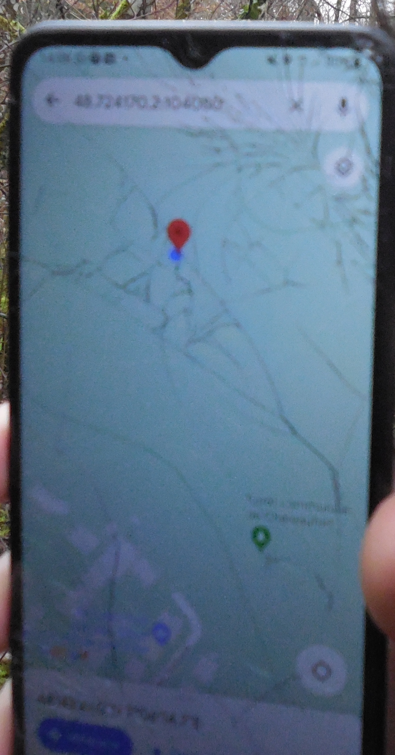
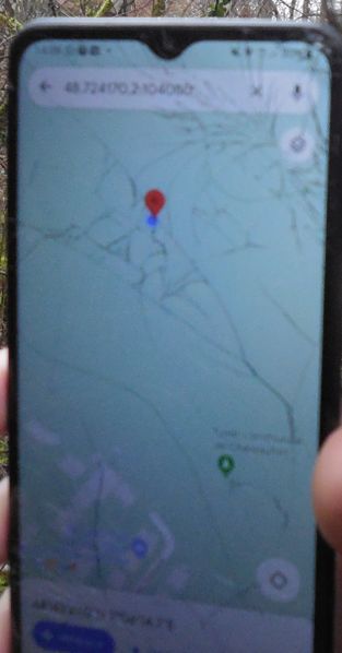
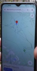
This is *supposed to* be my proof for reaching the geohash. The phone is my friend's. If you squint, you can hopefully read 48.724170, 2.104080 on the top, which is the location of the red thingy (the hashpoint), with the blue dot indicating our position right on top of it.
File history
Click on a date/time to view the file as it appeared at that time.
| Date/Time | Thumbnail | Dimensions | User | Comment | |
|---|---|---|---|---|---|
| current | 19:05, 3 January 2023 | | 1,264 × 2,416 (679 KB) | AmeliaThe1st (talk | contribs) | Category: Meetup on 2023-01-03 Category: Meetup in 48 2 Category: GNSS receivers This is *supposed to* be my proof for reaching the geohash. The phone is my friend's. If you squint, you can hopefully read 48.724170, 2.104080 on the top, whi... |
- You cannot overwrite this file.
File usage
The following 2 pages link to this file:
- 2023-01-03 48 2
- File:Coordinates proof.JPG (file redirect)