File:2023-07-19 53 9 - 10 Drone pano south high.jpg
From Geohashing
Size of this preview: 800 × 149 pixels. Other resolutions: 320 × 59 pixels | 6,999 × 1,301 pixels.
Original file (6,999 × 1,301 pixels, file size: 3.85 MB, MIME type: image/jpeg)
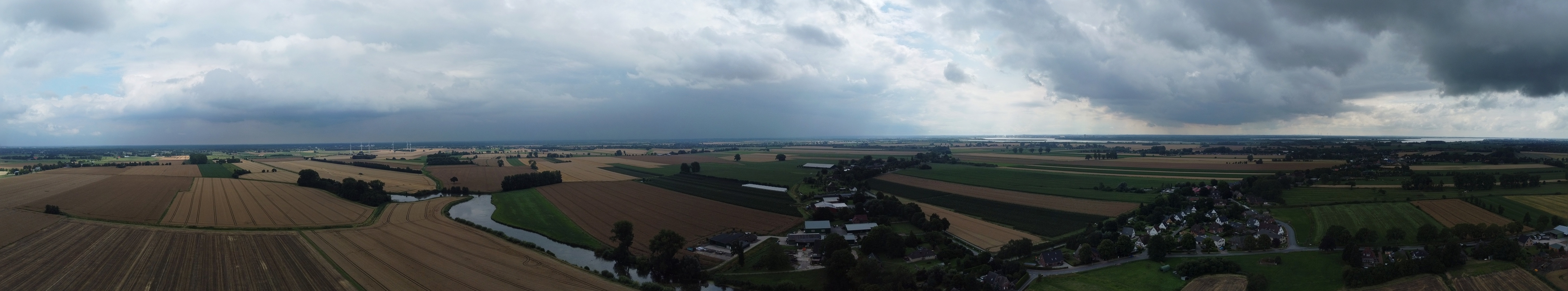
A panorama of the south of the 2023-07-19 53 9 hash via drone, flying high.A panorama of the south of the hash via drone, flying high.
File history
Click on a date/time to view the file as it appeared at that time.
| Date/Time | Thumbnail | Dimensions | User | Comment | |
|---|---|---|---|---|---|
| current | 21:53, 19 July 2023 | 6,999 × 1,301 (3.85 MB) | Rsge (talk | contribs) | File uploaded with MsUpload |
- You cannot overwrite this file.
File usage
The following 2 pages link to this file:
- 2023-07-19 53 9
- File:2023-07-19 - 10 Drone pano south high.jpg (file redirect)