File:47.65811°, -120.365635° - Google Maps-2.jpg
From Geohashing
No higher resolution available.
47.65811°,_-120.365635°_-_Google_Maps-2.jpg (593 × 204 pixels, file size: 42 KB, MIME type: image/jpeg)
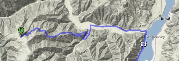
6/28/08 Wenatchee geohash location
File history
Click on a date/time to view the file as it appeared at that time.
| Date/Time | Thumbnail | Dimensions | User | Comment | |
|---|---|---|---|---|---|
| current | 15:54, 30 January 2020 | 593 × 204 (42 KB) | Maintenance script (talk | contribs) |
- You cannot overwrite this file.
File usage
The following page links to this file: