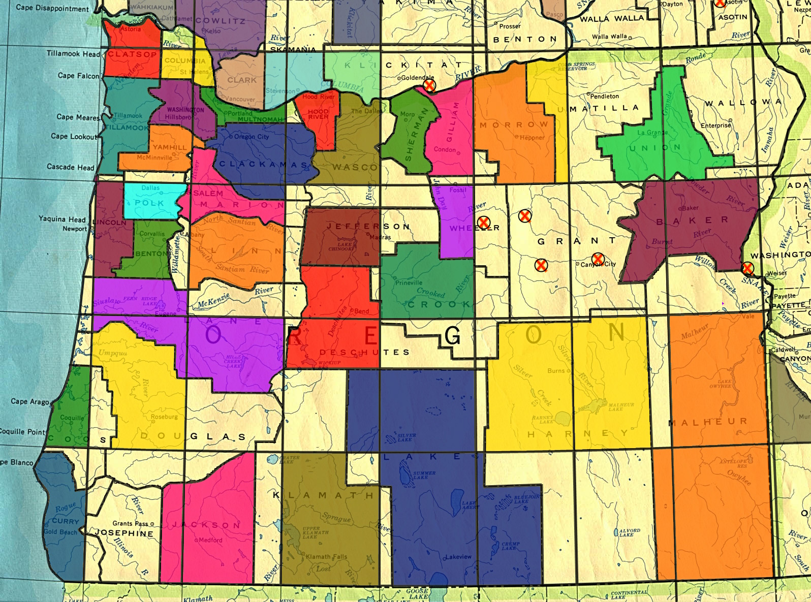
File:The county and graticule map 2023-12-20.jpg
From Geohashing
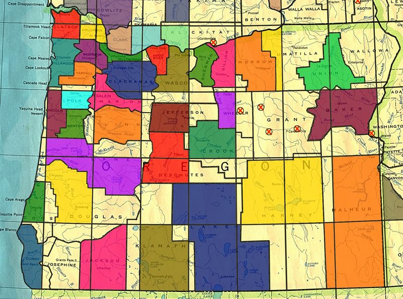
Size of this preview: 800 × 594 pixels. Other resolutions: 320 × 238 pixels | 1,596 × 1,185 pixels.
Original file (1,596 × 1,185 pixels, file size: 856 KB, MIME type: image/jpeg)
File history
Click on a date/time to view the file as it appeared at that time.
| Date/Time | Thumbnail | Dimensions | User | Comment | |
|---|---|---|---|---|---|
| current | 22:34, 18 January 2024 | | 1,596 × 1,185 (856 KB) | Michael5000 (talk | contribs) |
- You cannot overwrite this file.
File usage
The following page links to this file: