Difference between revisions of "2024-04-17 52 8"
(new report) |
(last man standing) |
||
| Line 33: | Line 33: | ||
{{#vardefine:ribbonwidth|100%}} | {{#vardefine:ribbonwidth|100%}} | ||
{{land geohash|date=2024-04-17|latitude=52|longitude=8|name=[[User:Fippe|Fippe]]|image=2024-04-17 52 8 02 Geohash.jpg}} | {{land geohash|date=2024-04-17|latitude=52|longitude=8|name=[[User:Fippe|Fippe]]|image=2024-04-17 52 8 02 Geohash.jpg}} | ||
| + | {{last man standing|date=2024-04-17|latitude=52|longitude=8|name=[[User:Fippe|Fippe]]}} | ||
__NOTOC__ | __NOTOC__ | ||
Latest revision as of 21:30, 6 June 2024
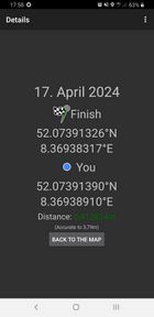
| Wed 17 Apr 2024 in 52,8: 52.0739133, 8.3693832 geohashing.info google osm bing/os kml crox |
Location
This Geohash is located on a cliff in Halle.
Participants
Expedition
In the afternoon, I took the train via Osnabrück Central to Halle/OWL-Arena and walked the rest of the distance. The coordinates were at the top of a cliff in a forest, where I located then and recorded proof.
Next, I tried approaching from below attempting a multiple elevations achievement, but the cliff was not quite steep enough. I climbed up the slope, and by the time I was in the circle of uncertainty, the difference in altitude was less than two meters.
I continued upwards, hiking up Mount Knüll (253 m). It was the highest peak around and there was a decent view from it's top.
Afterwards, I walked to Halle Central and took the train via Osnabrück Central back home to Osnabrück-Altstadt.
Photos
Proof
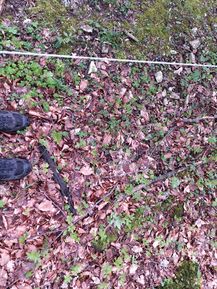
The Geohash
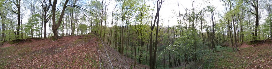
Surroundings
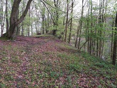
The site of the Geohash viewed from the top
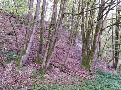
The site of the Geohash viewed from below
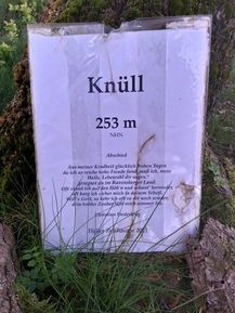
A poem at the top of Mount Knüll
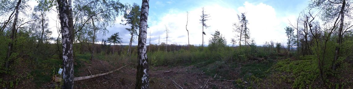
The view from Mount Knüll
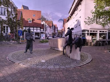
A statue of the original Haller Willem


Tracklog
Ribbons
Fippe earned the Land geohash achievement
|
Fippe earned the Last man standing achievement
|