| Tue 27 Aug 2024 in 64,25: 64.9325065, 25.7836644 geohashing.info google osm bing/os kml crox |
Location
In the intersection of Vaalantie and Rantosuontie roads in Lapinkangas, Oulu.
The point on a topographic map: [1]
Participants
Expedition
I was so excited when I saw this hashpoint on the map. It happened to be exactly where I had cycled on the way back from 2023-04-18 64 25, and the report had a tracklog to prove it, so this would be an unquestionable Déjà vu geohash. I would cycle there in the evening after work.
This time, I started from the city centre of Oulu. I followed the main cycleway number 8 to Madekoski, crossed the river and followed Vaalantie road to the hashpoint. After documenting the visit, I followed another route home. It was almost surprisingly cool today; about 15 °C despite the sunshine and considerably windy. Looks like the summer will soon be over.
According to the GPS receiver, the length of the trip was 38.0 kilometres.
Tracklog
Photos
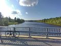
The Oulujoki river near Sanginsilta bridge.
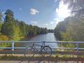
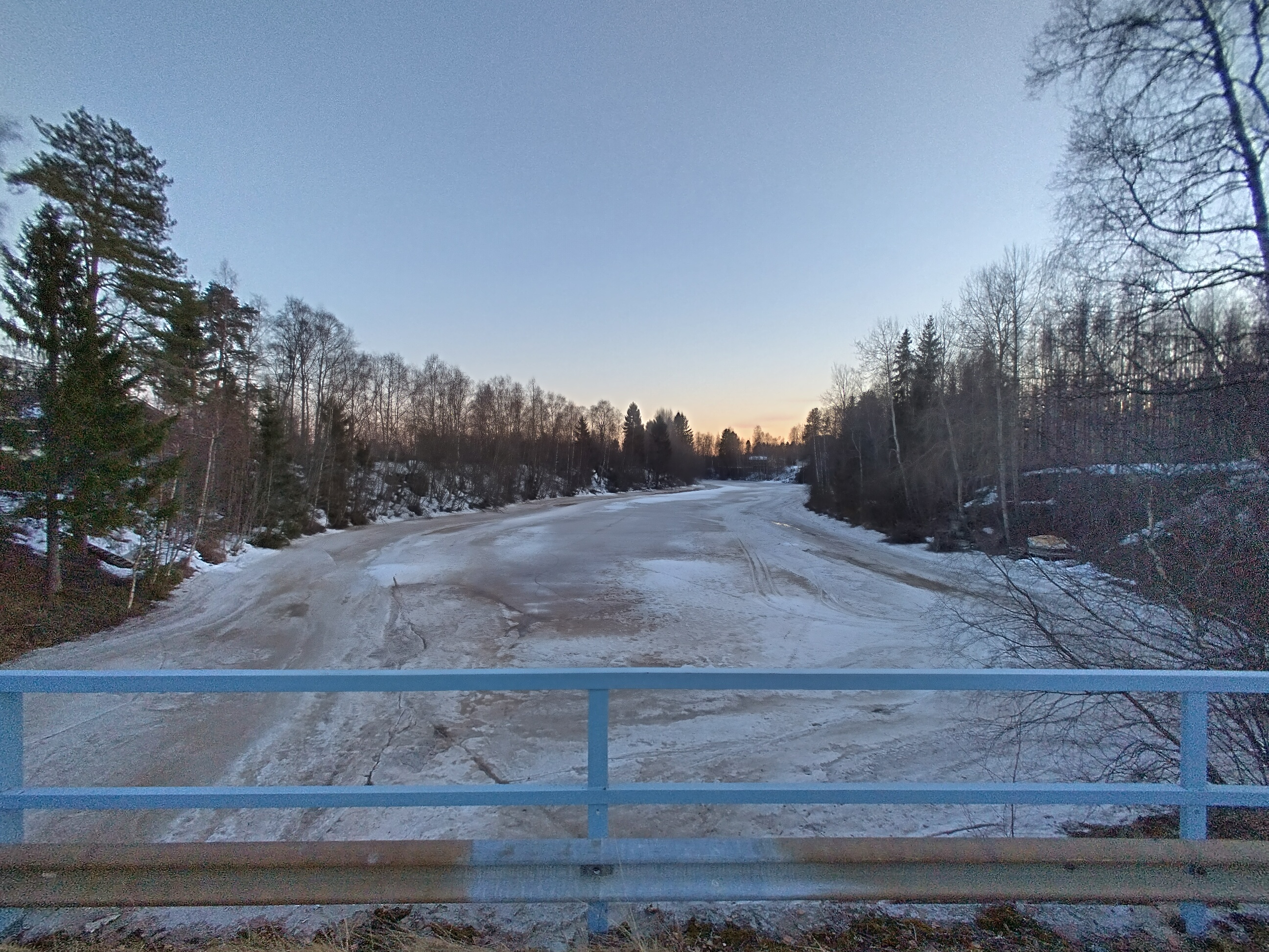
The Sanginjoki river, now flowing freely. Compare to the old photo.
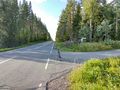
The bicycle parked at the hashpoint. I cycled via this point on the previous expedition.
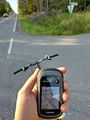
Proof of location.
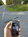
Proof of date and time.
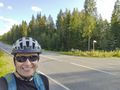
Stupid Grin™, photographed in the opposite direction.
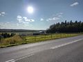
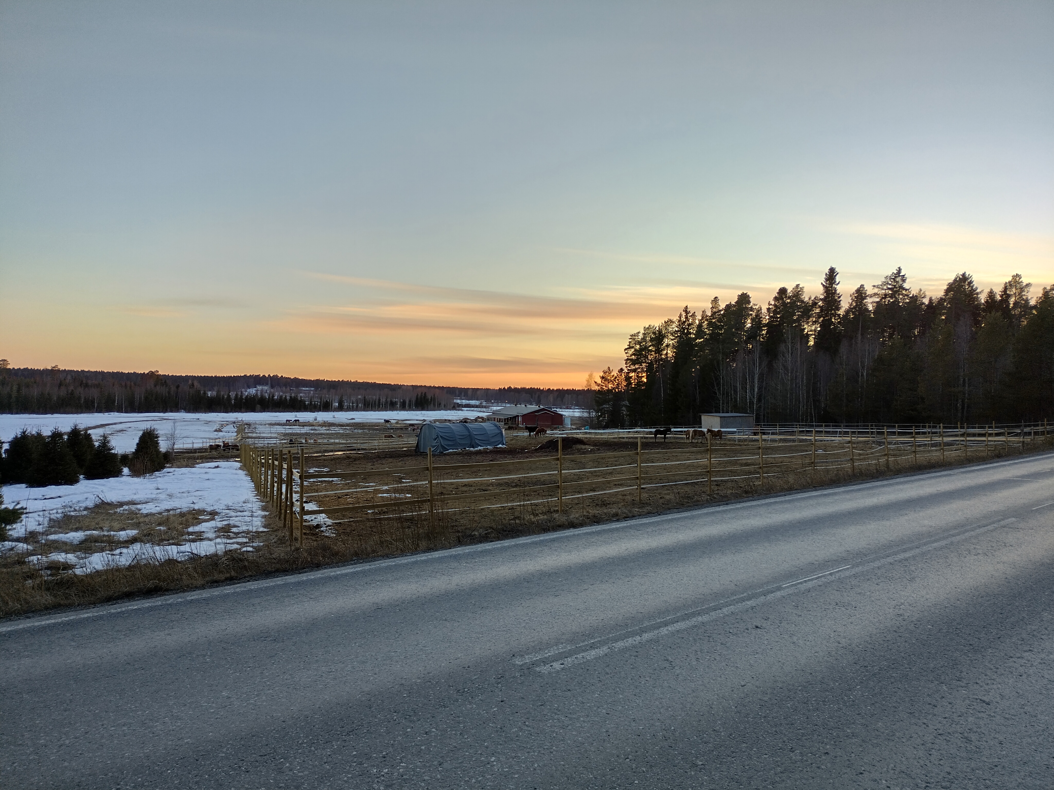
The fields near Turkka. Horses were out again. Compare to the old photo.
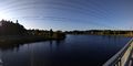
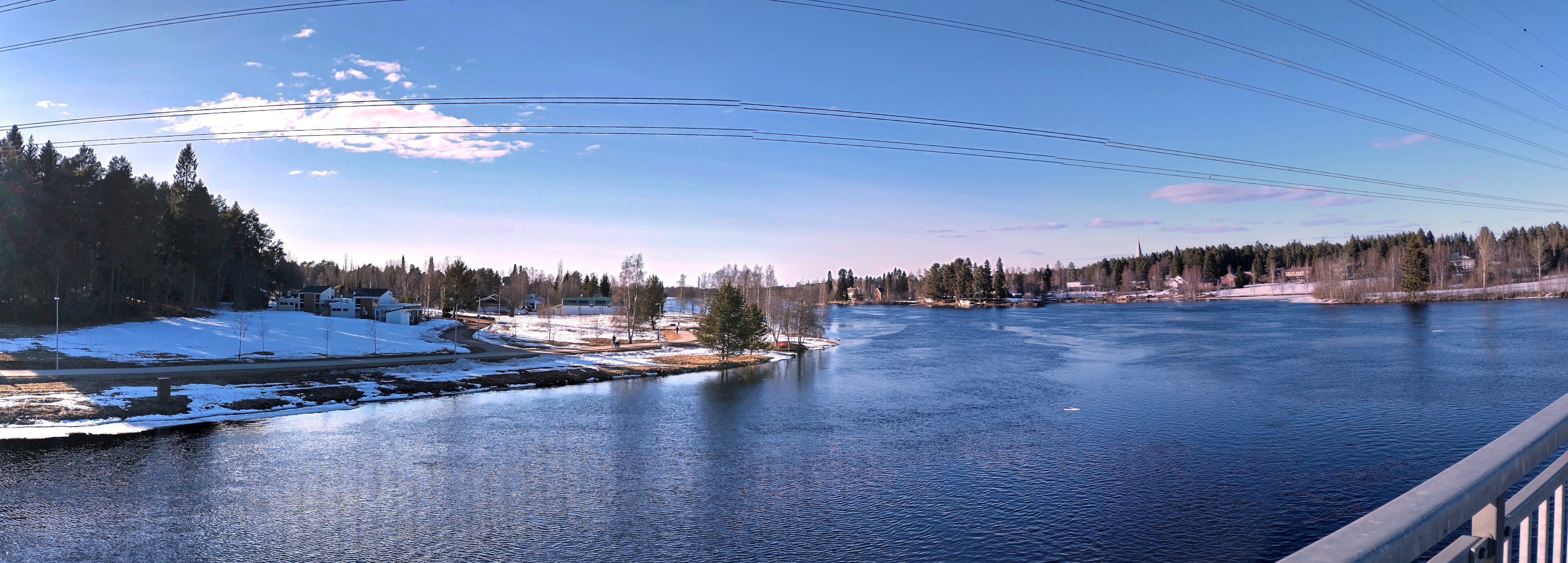
The Oulujoki river near Poikkimaantie bridge. Compare to the old photo.


Achievements
Kripakko earned the Land geohash achievement
|
Kripakko earned the Bicycle geohash achievement
|
Kripakko earned the Déjà Vu Geohash Achievement
|