Difference between revisions of "2009-07-26 34 -84"
From Geohashing
imported>NWoodruff m (→Gallery) |
imported>NWoodruff m (→Gallery) |
||
| Line 35: | Line 35: | ||
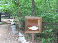
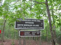
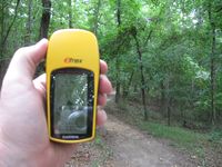
Image:20090726_34_-84NW08.JPG| It is! It's a public trail! | Image:20090726_34_-84NW08.JPG| It is! It's a public trail! | ||
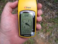
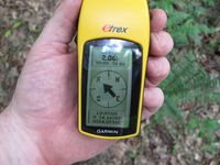
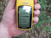
Image:20090726_34_-84NW09.JPG| I'm in luck! The trail is going the right direction and only 0.16 miles to go. | Image:20090726_34_-84NW09.JPG| I'm in luck! The trail is going the right direction and only 0.16 miles to go. | ||
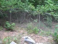
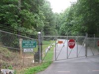
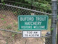
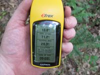
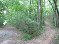
| − | Image:20090726_34_-84NW10.JPG| | + | Image:20090726_34_-84NW10.JPG| I am right there. AND! there is that gravel road that I needed to get to from the street where the hatchery had blocked off. Can I be so lucky??? |
Image:20090726_34_-84NW11.JPG| | Image:20090726_34_-84NW11.JPG| | ||
Image:20090726_34_-84NW12.JPG| | Image:20090726_34_-84NW12.JPG| | ||
Revision as of 17:38, 13 August 2009
| Sun 26 Jul 2009 in Roswell: 34.1404944, -84.0894649 geohashing.info google osm bing/os kml crox |
Graticule
About
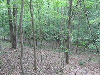
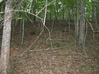
In some woods west of Woodstock.
People
Expeditions
Gallery
- Photo Gallery
Achievements
NWoodruff earned the Land geohash achievement
|
