Difference between revisions of "2009-08-11 50 11"
imported>Reinhard m (code) |
imported>FippeBot m (Location) |
||
| Line 23: | Line 23: | ||
[[Category:Expeditions with photos]] | [[Category:Expeditions with photos]] | ||
[[Category:Coordinates reached]] | [[Category:Coordinates reached]] | ||
| + | {{location|DE|TH|AP}} | ||
Latest revision as of 05:08, 8 August 2019
| Tue 11 Aug 2009 in 50,11: 50.8933175, 11.4837397 geohashing.info google osm bing/os kml crox |
Participants
Expedition
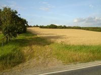
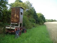
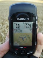
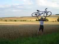
Reinhard had no specific plans for the evening and today's geohash was even closer to Jena than yesterday's geohash (which Reinhard couldn't visit due to time constraints), so he decided to cycle there after coming home from work. He started at 18:34 and rode via Isserstedt and Magdala to Göttern, behind which the geohash was located at the edge of a field, 200 m away from the road. Getting there was pretty easy and didn't take much longer than 30 minutes. Might be possible that the hash was actually a few meters into the (not yet harvested) field, but standing at the edge Reinhard was clearly within GPS accuracy to the exact coordinates. He continued the trip towards Jena, from where he had to climb the 200 m (vertical height) back to his home in Cospeda, which he reached still before 8 pm after 33 km.
- Photo Gallery


