Difference between revisions of "2009-10-23 33 -84"
imported>NWoodruff (→Gallery) |
imported>NWoodruff (→Gallery) |
||
| Line 37: | Line 37: | ||
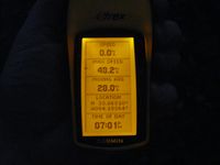
Image:2009102333-84NW03.JPG| Time of the meetup. | Image:2009102333-84NW03.JPG| Time of the meetup. | ||
Image:2009102333-84NW04.JPG| Date of the meetup. | Image:2009102333-84NW04.JPG| Date of the meetup. | ||
| − | Image:2009102333-84NW05.JPG| | + | Image:2009102333-84NW05.JPG| Looking towards the street from the hash point. |
Image:2009102333-84NW06.JPG| | Image:2009102333-84NW06.JPG| | ||
</gallery> | </gallery> | ||
Revision as of 12:29, 26 October 2009
| Fri 23 Oct 2009 in Atlanta: 33.8630922, -84.1836325 geohashing.info google osm bing/os kml crox |
Graticule
About
In the back woods of a subdivision in Tucker Georgia.
Expedition
LuxMundi
NWoodruff
I got stuck on I-285 with at least 1 accident every mile and I travel about 15 miles on I-285 east bound in the evening. It took me more than 2 hours to drive to the hash spot at a max speed on the interstates of less than 15 miles an hour. I have the track log if anyone is interested, probably not.
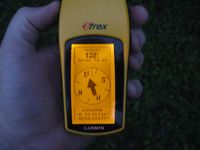
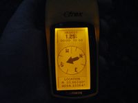
I drove up on the hash spot at about 7pm. I parked the truck with about 100 feet to go from the street. I found the hash spot with 1.25 feet to go. Close enough as it was pouring down raining.
I took a few pictures, then made my way back to the truck. I sat there for a few minutes hoping that LuxMundi might show up. I looked for any sign of a marker but didn't see one. I didn't leave a marker either as it was getting really dark and raining hard enough that a chalk marker would wash a way in seconds.
I then headed for home in Norcross.
Gallery
- Photo Gallery
Achievements
NWoodruff earned the Land geohash achievement
|
