Difference between revisions of "2010-03-14 50 11"
imported>Reinhard (pi day expedition report) |
imported>Reinhard m (layout) |
||
| Line 10: | Line 10: | ||
| − | {{gallery|width=200|height=200|lines= | + | {{gallery|width=200|height=200|lines=3 |
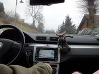
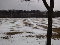
|Image:20100314-50N11E-01.jpg|Leaving Schalkau and heading towards Almerswind. | |Image:20100314-50N11E-01.jpg|Leaving Schalkau and heading towards Almerswind. | ||
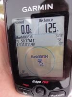
|Image:20100314-50N11E-02.jpg|Coordinates reached. | |Image:20100314-50N11E-02.jpg|Coordinates reached. | ||
Revision as of 13:57, 14 March 2010
| Sun 14 Mar 2010 in 50,11: 50.3761059, 11.0114844 geohashing.info google osm bing/os kml crox |
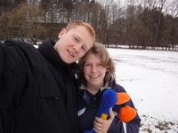
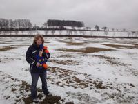
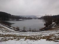
Manu and Reinhard were still spending their weekend at Manu's parents. Sunday's (Pi day) geohash was a 31 km drive from there. They went on a quick family excursion together with Manu's father driving and her mother co-piloting. There was no good place to park very close to the hashpoint, which was 120 m from the road between Schalkau and Almerswind on a party snow-covered meadow, so they just stopped at the roadside and Manu's parents were waiting in the car while Manu and Reinhard were running to the hashpoint with Göker, the regular inhabitant of Manu's father's car. They took some photos and went back to the car and continued the trip to Froschgrundsee, where a big railway bridge under construction is crossing the valley. Before lunch they were back home.
|
