Difference between revisions of "2010-04-30 47 13"
From Geohashing
imported>Manu (new expedition page ( on the authority of Reinhard)) |
imported>Reinhard (gallery) |
||
| Line 18: | Line 18: | ||
Success! Reinhard will report soon. | Success! Reinhard will report soon. | ||
| − | == Photos == | + | == Photos == |
| + | {{gallery|width=200|height=200|lines=2 | ||
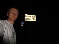
| + | |Image:20100430-57N13E-01.jpg|Stop at Dientener Sattel. | ||
| + | |Image:20100430-57N13E-02.jpg|Driving on gravel road. | ||
| + | |Image:20100430-57N13E-03.jpg|Car parked. 200 m to the geohash, to the right of the road. | ||
| + | |Image:20100430-57N13E-04.jpg|Cross that fence and climb down the meadow. | ||
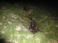
| + | |Image:20100430-57N13E-05.jpg|Coordinates reached in virgin graticule! | ||
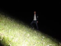
| + | |Image:20100430-57N13E-06.jpg|That was the slope down to the hashpoint. | ||
| + | |Image:20100430-57N13E-07.jpg|Kind of view from the hashpoint. | ||
| + | |Image:20100430-57N13E-08.jpg|A brook 15 m from the hashpoint. | ||
| + | }} | ||
== Achievements == | == Achievements == | ||
Revision as of 10:13, 3 May 2010
| Fri 30 Apr 2010 in 47,13: 47.3599056, 13.0141990 geohashing.info google osm bing/os kml crox |
Location
This geo hash lies on a meadow and should be (easily?) accessible.
Participants
Plans
Reinhard plans to visit the hash on his way to Goldegg on Friday evening.
Expedition
Success! Reinhard will report soon.
Photos
|
