Difference between revisions of "2008-05-24 29 -95"
From Geohashing
imported>Thomcat m |
imported>Thomcat (Success/failure category added) |
||
| Line 30: | Line 30: | ||
[[Category:Houston Graticule]][[Category:Houston Geohashes]] | [[Category:Houston Graticule]][[Category:Houston Geohashes]] | ||
| + | |||
| + | [[Category:Expeditions]] | ||
[[Category:Expeditions with photos]] | [[Category:Expeditions with photos]] | ||
| − | [[Category: | + | [[Category:Coordinates reached]] |
Revision as of 04:31, 5 August 2008
| Sat 24 May 2008 in Houston: 29.1266480, -95.5475331 geohashing.info google osm bing/os kml crox |
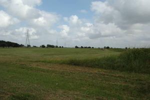
The Houston location is on Bunkhouse Trail, just south of Lake Bluebonnet, in the Bar X Ranch subdivision, a few miles west of Angelton.


