Difference between revisions of "2010-06-13 47 12"
From Geohashing
imported>Reinhard m (→Participants) |
imported>Reinhard (→Photos) |
||
| Line 18: | Line 18: | ||
== Photos == | == Photos == | ||
| − | + | {{gallery|width=200|height=200|lines=2 | |
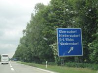
| − | Image: | + | |Image:20100613-47N12E-01.jpg|Our exit. |
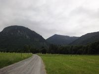
| − | -- | + | |Image:20100613-47N12E-02.jpg|Getting closer. |
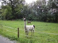
| − | + | |Image:20100613-47N12E-03.jpg|We parked near the llamas. | |
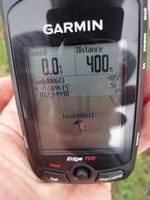
| − | + | |Image:20100613-47N12E-04.jpg|Coordinates reached. | |
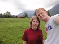
| + | |Image:20100613-47N12E-05.jpg|Manu and Reinhard on the hash meadow. | ||
| + | }} | ||
| + | |||
[[Category:Expeditions]] | [[Category:Expeditions]] | ||
[[Category:Expeditions with photos]] | [[Category:Expeditions with photos]] | ||
[[Category:Coordinates reached]] | [[Category:Coordinates reached]] | ||
Revision as of 23:17, 14 June 2010
| Sun 13 Jun 2010 in 47,12: 47.6961531, 12.1499792 geohashing.info google osm bing/os kml crox |
Location
On a meadow in the rural district of Rosenheim (Bavaria, Germany) close to the Austrian border.
Participants
Expedition
We were there!
Photos
|
