Difference between revisions of "2010-07-20 50 11"
From Geohashing
imported>Reinhard |
imported>Reinhard (→Photos) |
||
| Line 20: | Line 20: | ||
== Photos == | == Photos == | ||
| − | {{gallery|width=200|height=200|lines= | + | {{gallery|width=200|height=200|lines=3 |
| − | |Image:20100720-50N11E-01.jpg|. | + | |Image:20100720-50N11E-01.jpg|Crossing motorway A9 close to the hashpoint. |
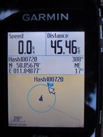
| − | |Image:20100720-50N11E-02.jpg|. | + | |Image:20100720-50N11E-02.jpg|Think, I can't get closer ... |
| − | |Image:20100720-50N11E-03.jpg|. | + | |Image:20100720-50N11E-03.jpg|... due to this fence |
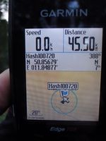
| − | |Image:20100720-50N11E-04.jpg|. | + | |Image:20100720-50N11E-04.jpg|At the other edge of the fence I could at least come closer as GPS accuracy to the hashpoint. |
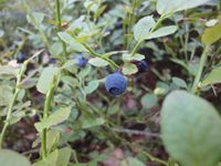
| + | |Image:20100720-50N11E-05.jpg|Delicious blueberries. | ||
}} | }} | ||
Revision as of 22:43, 20 July 2010
| Tue 20 Jul 2010 in 50,11: 50.8567894, 11.8487759 geohashing.info google osm bing/os kml crox |
Location
In the forest near Hermsdorf.
Participants
Expedition
Tracklog
Photos
|


