Difference between revisions of "2011-04-24 50 10"
From Geohashing
imported>Reinhard (new expedition page) |
imported>Reinhard m (→Photos) |
||
| Line 19: | Line 19: | ||
{{gallery|width=200|height=200|lines=2 | {{gallery|width=200|height=200|lines=2 | ||
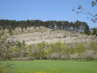
|Image:20110424-50N10E-1.jpg|NS bunker in the rocks of the Jonastal. | |Image:20110424-50N10E-1.jpg|NS bunker in the rocks of the Jonastal. | ||
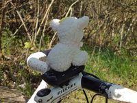
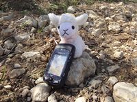
| − | |Image:20110424-50N10E-2.jpg|Easter lamb on | + | |Image:20110424-50N10E-2.jpg|Easter lamb on its way to the Easter hash. |
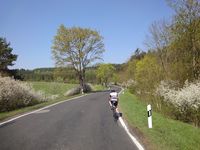
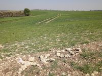
|Image:20110424-50N10E-3.jpg|Beautiful landscape in Jonastal. | |Image:20110424-50N10E-3.jpg|Beautiful landscape in Jonastal. | ||
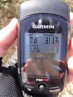
|Image:20110424-50N10E-4.jpg|Coordinates reached. | |Image:20110424-50N10E-4.jpg|Coordinates reached. | ||
Revision as of 21:03, 24 April 2011
| Sun 24 Apr 2011 in 50,10: 50.7891061, 10.8277996 geohashing.info google osm bing/os kml crox |
Location
Between fields at the hillside of Jonastal near Crawinkel in Thuringia.
Participants
Expedition
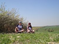
Warm Easter Sunday bike trip.
Photos
|
