Difference between revisions of "2012-01-16 46 6"
From Geohashing
imported>Mampfred m |
imported>FippeBot m (Location) |
||
| (2 intermediate revisions by 2 users not shown) | |||
| Line 28: | Line 28: | ||
{{GalleryItem | File:2012-01-16_46_6-01-bike.jpg | transportation }} | {{GalleryItem | File:2012-01-16_46_6-01-bike.jpg | transportation }} | ||
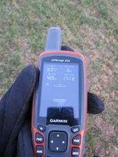
{{GalleryItem | File:2012-01-16_46_6-02-gps-reached.jpg | coordinates reached }} | {{GalleryItem | File:2012-01-16_46_6-02-gps-reached.jpg | coordinates reached }} | ||
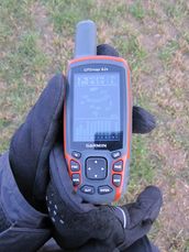
| − | + | {{GalleryItem | File:2012-01-16_46_6-03-gps-coordinates.jpg | ([[Talk:2011-08-16_47_8|I know]]) }} | |
| + | {{GalleryItem | File:2012-01-16_46_6-04-hash.jpg | the hash }} | ||
| + | {{GalleryItem | File:2012-01-16_46_6-05-pano.jpg | greenhouse next to the hash }} | ||
}} | }} | ||
| Line 35: | Line 37: | ||
[[Category:Expeditions with photos]] | [[Category:Expeditions with photos]] | ||
[[Category:Coordinates reached]] | [[Category:Coordinates reached]] | ||
| + | {{location|CH|VD}} | ||
Latest revision as of 02:06, 13 August 2019
| Mon 16 Jan 2012 in 46,6: 46.7879038, 6.6086046 geohashing.info google osm bing/os kml crox |
Location
Montagny-près-Yverdon, Switzerland (swisstopo map)
Participants
Plans
Get there by bike-sharing, ETA 17:05.
Expedition
Went according to plan :o)
Tracklog
http://maps.google.com/maps?q=http://gallery.crox.net/gh-20120116.kmz
Photos
|


