Difference between revisions of "2012-05-01 50 11"
imported>Reinhard (report) |
imported>FippeBot m (Location) |
||
| Line 27: | Line 27: | ||
[[Category:Expeditions with photos]] | [[Category:Expeditions with photos]] | ||
[[Category:Coordinates reached]] | [[Category:Coordinates reached]] | ||
| + | {{location|DE|TH|SON}} | ||
Latest revision as of 03:45, 13 August 2019
| Tue 1 May 2012 in 50,11: 50.5182653, 11.1773215 geohashing.info google osm bing/os kml crox |
Location
On the federal road B281 in Lichte, Thuringian Forest.
Participants
Expedition
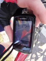
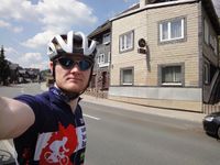
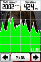
While Juja, staying at Jena, was covering the nothern part of the 50/11 graticule, I felt responsible to care for the middle western part of it, since I spent some days at Manu's family in 50/10's east. Weather was great on this International Workers' Day so a nice bike trip was the only reasonable way to cover the day's hash, situated directly on a road in the beautiful Thuringian Forest. One way would have been 40 km, but I preferred to explore some more hilly roads and thus took a detour and made it to the hashpoint after 70 km. There wasn't much traffic on the road, but still too much to take an autotimer photo. From Lichte I rode back directly, up to and down from the Rennsteig over and over again until I reached "home" after 111 km and satisfying 2000 meters ascent.
Photos
|


