Difference between revisions of "2012-06-04 51 -1"
From Geohashing
imported>Jand (→Gallery) |
imported>Jand (→Gallery) |
||
| Line 17: | Line 17: | ||
== Gallery == | == Gallery == | ||
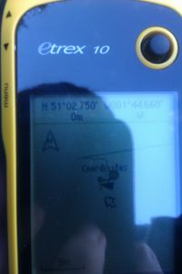
| − | [[File:2012-06-04 51 -1 coordinates reached | 200px]] | + | [[File:2012-06-04 51 -1 coordinates reached.jpg| 200px]] |
== Achievement == | == Achievement == | ||
Revision as of 14:25, 4 June 2012
| Mon 4 Jun 2012 in 51,-1: 51.0458348, -1.7443343 geohashing.info google osm bing/os kml crox |
Contents
[hide]Location
The hash was located on a tree/grassland border slightly downhill of The Green Dragon, Alderbury.
Expedition
My dad, my brother Ed and I set off for today's hash at 12:45, taking the same route as I did for 2012-05-27 51 -1. I do suspect that Ed only came along as today was the site of a Pub Geohash.
We arrived at The Green Dragon public house at just after 1 o clock and from there it was a simple walk of around 120m down to the hash, (on the downside it was quite damp due to the previous night's rain). Ed and I reached the hash at 1:04, which was mercifully 2m short of a large amount of stinging nettles. We then headed back up to the pub to get our achievement! I left my hash marker on a telegraph pole on the road.
Gallery
Achievement
Jand earned the Pub Geohash Achievement
|
Jand earned the Drag-along achievement
|
This user earned the Consecutive geohash achievement
|
