Difference between revisions of "2008-05-24 41 -88"
imported>Thomcat (Success/failure category added) |
imported>FippeBot m (Location) |
||
| Line 30: | Line 30: | ||
[[Category:Expeditions with photos]] | [[Category:Expeditions with photos]] | ||
[[Category:Coordinates reached]] | [[Category:Coordinates reached]] | ||
| + | {{location|US|IL|GU}} | ||
Revision as of 04:08, 7 August 2019
| Sat 24 May 2008 in 41,-88: 41.1266480, -88.5475331 geohashing.info google osm bing/os kml crox |
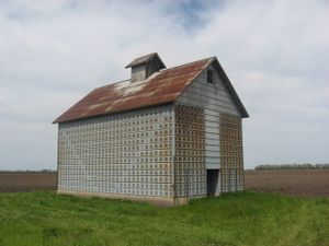
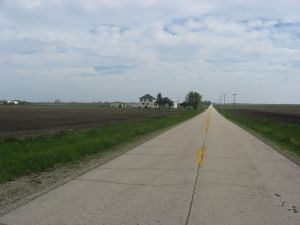
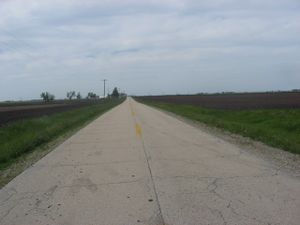
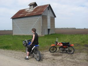
The location is in front of a house, so we parked just up the road. It was a 60 mile dirt bike ride there and back for us, my dirt bike used almost all the gas just getting there, but somehow made it home, very fun journey.
Planning
http://irc.peeron.com/xkcd/map/map.html?date=2008-05-24&lat=41&long=-89&zoom=9&abs=1
Looks like farmland southwest of Joliet, near Dwight. As intrigued as I am, at $4.15 a gallon, I'm not sure I'd want to head out there without any kind of certainty that there will be others doing it too. If I'm going to end up standing in a cornfield by myself, I'm pretty sure I can find a place to do that closer to home. (unsigned)
People
My brother and I, after I convinced him to come. We left there a little early, but I have a felling no one else showed up, correct me if wrong!
William


