Difference between revisions of "2013-11-12 51 9"
From Geohashing
imported>GeorgDerReisende (new expedition) |
imported>FippeBot m (Location) |
||
| (3 intermediate revisions by one other user not shown) | |||
| Line 1: | Line 1: | ||
| − | |||
| − | |||
| − | |||
| − | |||
| − | |||
| − | |||
| − | |||
| − | |||
| − | |||
| − | |||
{{meetup graticule | {{meetup graticule | ||
| lat=51 | | lat=51 | ||
| Line 18: | Line 8: | ||
__NOTOC__ | __NOTOC__ | ||
== Location == | == Location == | ||
| − | + | ||
| + | The hash lies in the forest about 2 km above Großalmerode. | ||
== Participants == | == Participants == | ||
| − | + | ||
| − | + | [[User:GeorgDerReisende|GeorgDerReisende]] | |
== Plans == | == Plans == | ||
| − | + | ||
| + | I want to go there by hitchhiking, look for the hash, take some photos, walk around in the forest, hitchhike home. | ||
== Expedition == | == Expedition == | ||
| − | |||
| − | == | + | {| |
| − | + | |- | |
| + | ! | !! style="width:30em" | | ||
| + | |- | ||
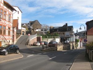
| + | | [[Image:2013-11-12 51 9 GeorgDerReisende 2897.jpg|300px]] || || I started at home at 10:15. I took the trams 7 and 8 to the beginning of the national road B7. The third car stopped. I got a lift to Helsa, then I walked to the end of Helsa at the national road B451. There the first car stopped and with this I reached Großalmerode, which is the village, where my walk began. This place is about 380 meters high. | ||
| + | |- | ||
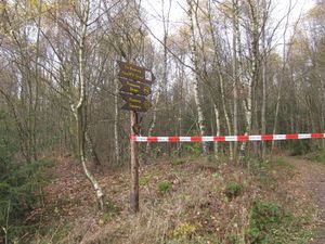
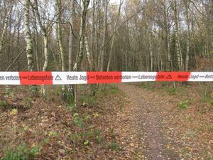
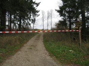
| + | | colspan=2 | [[Image:2013-11-12 51 9 GeorgDerReisende 2925.jpg|300px]] [[Image:2013-11-12 51 9 GeorgDerReisende 2926.jpg|300px]] || Above the village I reached the forest. The first thing I had seen, had been this barrier. This was not my way, but I was confused. It said "Today Hunting - No Trespassing - Danger of Life". Here I walked to the right, following my trail. | ||
| + | |- | ||
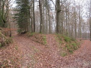
| + | | colspan=2 | [[Image:2013-11-12 51 9 GeorgDerReisende 2932.jpg|300px]] [[Image:2013-11-12 51 9 GeorgDerReisende 2942.jpg|300px]] || Then I found two of such barriers, the right one is the path, where I wanted to go, the left one is the path, which I have later taken. Also the last possible way was blocked (Kohlenstraße). | ||
| + | |- | ||
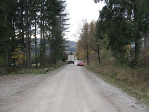
| + | | [[Image:2013-11-12 51 9 GeorgDerReisende 2946.jpg|300px]] || || Then I saw, that a car passed such a barrier. (The green one between the trees on the left.) I walked to the place, where the car passed and I found two men, who opened the barrier. I asked them, if the way is now open. They answered me, that the opening vould take place at 13:00. So I waited for some minutes, then I started to walk into the forest. (The white car is a cooler van, to transport away the dead animals.) | ||
| + | |- | ||
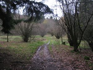
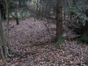
| + | | [[Image:2013-11-12 51 9 GeorgDerReisende 2959.jpg|300px]] || || Then I walked some zigzag through the forest and found back the right way to the hash. I followed this way for ten minutes, but then I found this situation. The hash is about 50 meters away, but the way is not passable. I tried it. | ||
| + | |- | ||
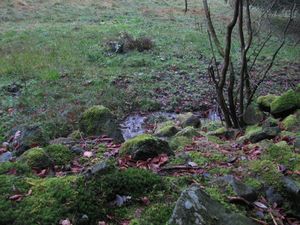
| + | | colspan=2 | [[Image:2013-11-12 51 9 GeorgDerReisende 2969.jpg|300px]] [[Image:2013-11-12 51 9 GeorgDerReisende 2970.jpg|300px]] || At first I tried to cross the meadows. It looked harmless, but on the first meters I found a very wet ground. Not knowing if it was only wet grass or something like a moor, I tried to find a way around. While doing this, I found this little brook. | ||
| + | |- | ||
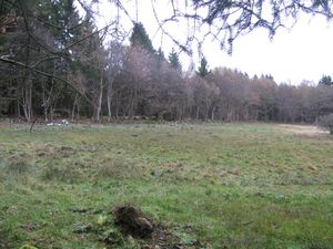
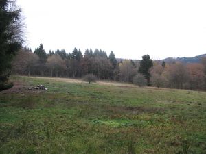
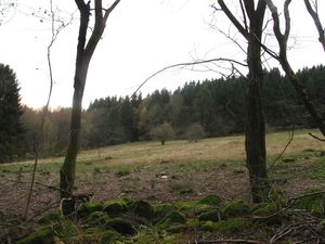
| + | | [[Image:2013-11-12 51 9 GeorgDerReisende 2972.jpg|300px]] || || A view to across the meadow. Somewhere is the hash. | ||
| + | |- | ||
| + | | [[Image:2013-11-12 51 9 GeorgDerReisende 2974.jpg|300px]] || || The way above the meadows, which I took to cross the creeks. | ||
| + | |- | ||
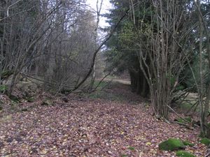
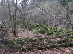
| + | | [[Image:2013-11-12 51 9 GeorgDerReisende 2983.jpg|300px]] || || Then I found something like a path beside the meadow. The stone wall shows, that all these areas are man made. | ||
| + | |- | ||
| + | | [[Image:2013-11-12 51 9 GeorgDerReisende 2984.jpg|300px]] || || A view across the meadow, I walked along the other side upwards. | ||
| + | |- | ||
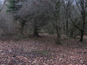
| + | | [[Image:2013-11-12 51 9 GeorgDerReisende 2985.jpg|300px]] || || About 20 meters away from the hash, but a small creek blocked my path. I walked around it. At least it looked like a spring. | ||
| + | |- | ||
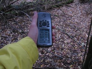
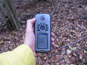
| + | | colspan=2 | [[Image:2013-11-12 51 9 GeorgDerReisende 2992.jpg|300px]] [[Image:2013-11-12 51 9 GeorgDerReisende 2995.jpg|300px]] || proof | ||
| + | |- | ||
| + | | colspan=2 | [[Image:2013-11-12 51 9 GeorgDerReisende 2993.jpg|300px]] [[Image:2013-11-12 51 9 GeorgDerReisende 2994.jpg|300px]] || The hash and a view from the hash. | ||
| + | |- | ||
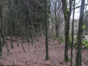
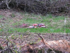
| + | | colspan=2 | [[Image:2013-11-12 51 9 GeorgDerReisende 2999.jpg|300px]] [[Image:2013-11-12 51 9 GeorgDerReisende 3001.jpg|300px]] || I found traces of the hunting. | ||
| + | |- | ||
| + | | [[Image:2013-11-12 51 9 GeorgDerReisende 3006.jpg|300px]] || || grrrin | ||
| + | |- | ||
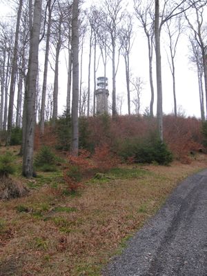
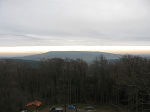
| + | | [[Image:2013-11-12 51 9 GeorgDerReisende 3013.jpg|300px]] || || After visiting the hash, I walked to the Bilstein tower, the highest peak of the Kaufunger Wald. | ||
| + | |- | ||
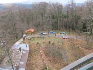
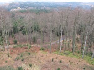
| + | | [[Image:2013-11-12 51 9 GeorgDerReisende 3024.jpg|300px]] || || From the tower I saw the horses of the hunting. | ||
| + | |- | ||
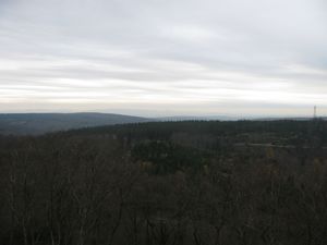
| + | | [[Image:2013-11-12 51 9 GeorgDerReisende 3020.jpg|300px]] || [[Image:2013-11-12 51 9 GeorgDerReisende 3025.jpg|300px]] || [[Image:2013-11-12 51 9 GeorgDerReisende 3026.jpg|300px]] | ||
| + | |- | ||
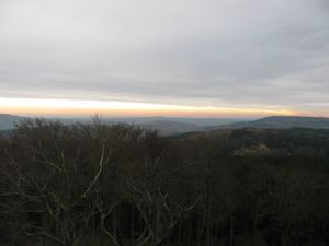
| + | | View to Kassel. Bad photo. || The Hoher Meißner. || View to the Rhön mountains. They are 90 kilometers away, today bad view. | ||
| + | |- | ||
| + | | [[Image:2013-11-12 51 9 GeorgDerReisende 3031.jpg|300px]] || || the way down the Bilstein into the forest | ||
| + | |- | ||
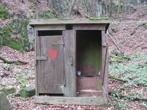
| + | | [[Image:2013-11-12 51 9 GeorgDerReisende 3046.jpg|300px]] || || I had been asked, why I can find so much shelters in the forests. Today I found this. | ||
| + | |- | ||
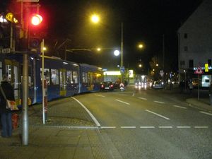
| + | | [[Image:2013-11-12 51 9 GeorgDerReisende 3059.jpg|300px]] || || By trying to hitchhike home from Großalmerode to Kassel the third car stopped and I got a lift directly to Kassel. On my way home I had been hindered by this accident. So I arrived 30 minutes later. | ||
| + | |} | ||
| − | |||
| − | |||
| − | |||
| − | |||
| − | |||
| − | |||
== Achievements == | == Achievements == | ||
| Line 44: | Line 75: | ||
<!-- Add any achievement ribbons you earned below, or remove this section --> | <!-- Add any achievement ribbons you earned below, or remove this section --> | ||
| + | {{Thumbs Up | latitude = 51 | longitude = 9 | date = 2013-11-12 | name = GeorgDerReisende }} | ||
| − | + | [[Category:Expeditions]] | |
| − | |||
| − | [[Category: | ||
| − | + | [[Category:Expeditions with photos]] | |
| − | |||
| − | [[Category: | ||
| − | |||
| − | |||
| − | |||
| − | |||
| − | |||
| − | |||
| − | |||
| − | |||
| − | |||
| − | |||
[[Category:Coordinates reached]] | [[Category:Coordinates reached]] | ||
| − | + | {{location|DE|HE|WIZ}} | |
| − | |||
| − | |||
| − | |||
| − | |||
| − | |||
| − | |||
| − | |||
| − | |||
| − | |||
| − | |||
| − | |||
| − | |||
| − | |||
| − | |||
| − | |||
| − | |||
| − | |||
Latest revision as of 04:38, 14 August 2019
| Tue 12 Nov 2013 in 51,9: 51.2741173, 9.7888744 geohashing.info google osm bing/os kml crox |
Location
The hash lies in the forest about 2 km above Großalmerode.
Participants
Plans
I want to go there by hitchhiking, look for the hash, take some photos, walk around in the forest, hitchhike home.
Expedition
Achievements
GeorgDerReisende earned the Thumbs Up Geohash Achievement
|
